
- Startseite >
- Flüsse >
- Wasserstand >
- Untere Donau >
- Simbach >
- Stammdaten

Stammdaten Simbach
Messstellen-Nr.: 18719006
Gemeinde: Simbach a.Inn
Landkreis: Rottal-Inn
Betreiber:  Wasserwirtschaftsamt Deggendorf
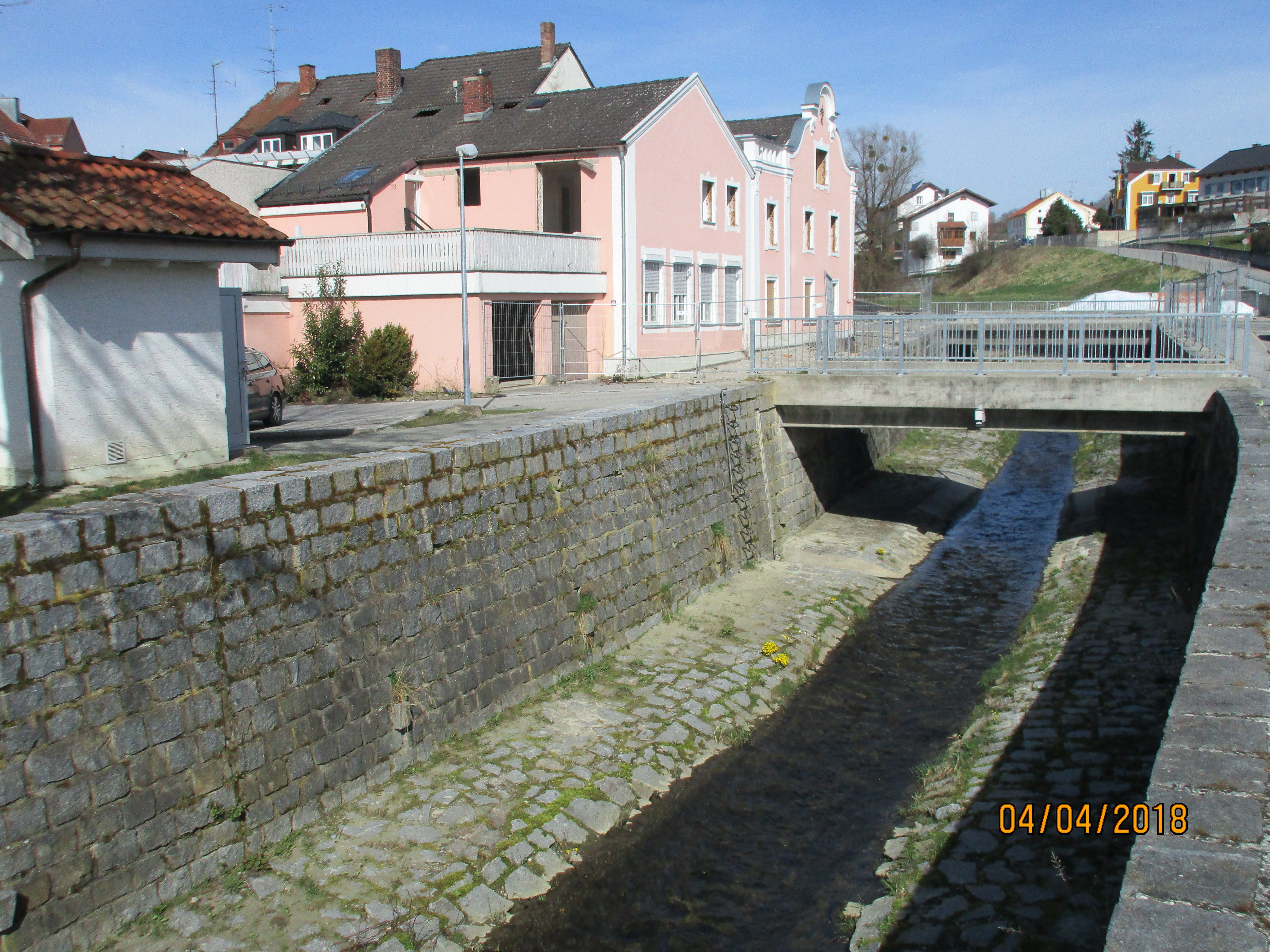
Gewässer: Simbach
Einzugsgebiet: 33,00 km2
Flusskilometer: 0,92 km
Ostwert: 798955 (ETRS89 / UTM Zone 32N)
Nordwert: 5353900
Pegelnullpunktshöhe: 340,37 m NHN (DHHN2016)
Foto der Messstelle
Lage der Messstelle Simbach / Simbach
| Messstelle | Rubrik |
|---|---|
 Burghausen Burghausen | Flüsse: Abfluss, Wasserstand |
| Schermühle | Flüsse: Abfluss, Wasserstand |
| Simbach | Flüsse: Abfluss, Wasserstand |
| Linden | Flüsse: Abfluss, Wasserstand, Schwebstoff |
© Bayerisches Landesamt für Umwelt 2026