
- Start >
- Groundwater >
- Waterlevel of deep layer >
- Unterer Main >
- Bischofsheim S2 >
- Master data

Master data Bischofsheim S2
Site number: 22153
Measuring point system: Grundnetz
Community: Bischofsheim i.d.Rhön
District: Rhön-Grabfeld
Operator:  Wasserwirtschaftsamt Bad Kissingen
Aquifer: Oberer Buntsandstein
Measurement site depth under ground: 121.00 m
Ground level: 494.21 m above sealevel
Easting: 570944 (ETRS89 / UTM Zone 32N)
Northing: 5583919
Observation period: 30.03.2010 to 12.01.2025
Maximum waterlevel (HHW): 485.69 m above sealevel
Mean waterlevel (MW): 484.93 m above sealevel
Minimum waterlevel (NNW): 484.12 m above sealevel
Mean Highest Groundwater Level (MHGW): 485.31 m above sealevel (Period: 01.11.2009 - 01.11.2025)
Picture of the measurement site
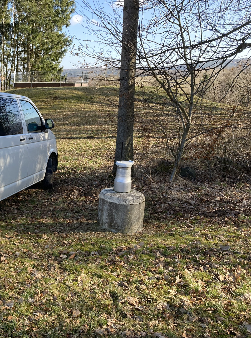
Location of the station Bischofsheim S2
| Measurement site | Category |
|---|---|
 Salz Salz | Rivers: Runoff, Waterlevel, Water temperature, Water temperature |
| Wechterswinkel | Rivers: Runoff, Waterlevel |
| Unterweißenbrunn | Rivers: Runoff, Waterlevel |
| Schweinhof | Rivers: Runoff, Waterlevel |