
- Start >
- Groundwater >
- Flow of springs >
- Iller - Lech - Bodensee >
- Säulingquellen >
- Master data

Master data Säulingquellen
Site number: 41516
Measuring point system: Grundnetz
Community: Schwangau
District: Ostallgäu
Measurement data provided by:  Wasserwirtschaftsamt Kempten
Aquifer: Alpine Gesteine
Ground level: --
Easting: 633357 (ETRS89 / UTM Zone 32N)
Northing: 5266677
Observation period: 22.10.2015 to 21.05.2026
Hauptwerte (Tagesmittelwerte):
Maximum flow: 246.87 l/s
Mean flow: 63.83 l/s
Minimum flow: 9.70 l/s
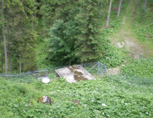
Picture of the measurement site
Location of the station Säulingquellen
| Measurement site | Category |
|---|---|
 Füssen Füssen | Rivers: Runoff, Waterlevel, Suspended sediment |
| Füssen (virtuell) | Rivers: Runoff |
| Lechbruck | Rivers: Runoff, Waterlevel |
| Pfronten Ried | Rivers: Runoff, Waterlevel |
© Bayerisches Landesamt für Umwelt 2026