
- Start >
- Groundwater >
- Flow of springs >
- Naab - Regen >
- Blaibach Quelle 1-4 >
- Master data

Master data Blaibach Quelle 1-4
Site number: 20565
Measuring point system: Grundnetz
Community: Miltach
District: Cham
Measurement data provided by:  Wasserwirtschaftsamt Regensburg
Aquifer:
Ground level: --
Easting: 777736 (ETRS89 / UTM Zone 32N)
Northing: 5450666
Observation period: 01.01.2018 to 13.03.2025
Hauptwerte (Tagesmittelwerte):
Maximum flow: 1.61 l/s
Mean flow: 0.91 l/s
Minimum flow: 0.26 l/s
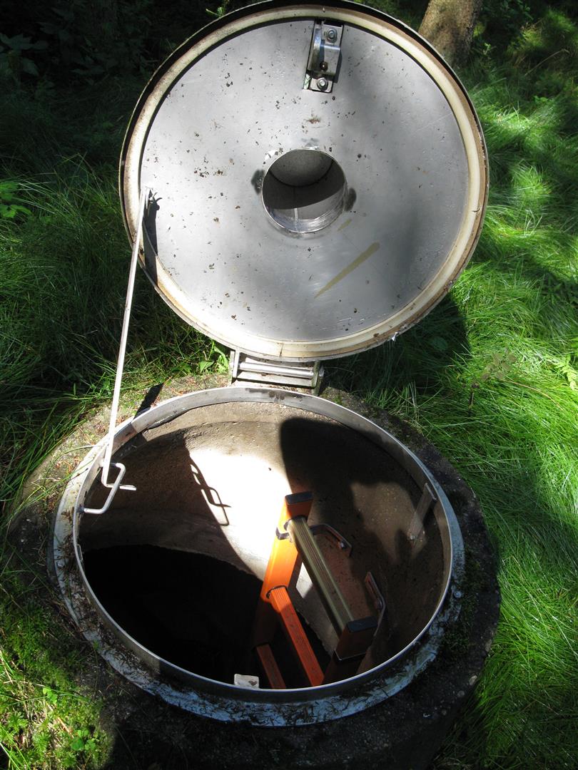
Picture of the measurement site
Location of the station Blaibach Quelle 1-4
| Measurement site | Category |
|---|---|
 Chamerau Chamerau | Rivers: Runoff, Waterlevel |
| Sägmühle | Rivers: Runoff, Waterlevel |
| Viechtach Reibenmühle | Rivers: Runoff, Waterlevel |
| Kötzting | Rivers: Runoff, Waterlevel |
© Bayerisches Landesamt für Umwelt 2025