
- Start >
- Groundwater >
- Flow of springs >
- Regnitz >
- Weissbrunnen >
- Master data

Master data Weissbrunnen
Site number: 5506
Measuring point system: Grundnetz
Community: Wilhelmsthal
District: Kronach
Measurement data provided by:  Wasserwirtschaftsamt Kronach
Aquifer: Unterer Muschelkalk
Ground level: 339.90 m above sealevel
Easting: 668377 (ETRS89 / UTM Zone 32N)
Northing: 5572101
Observation period: 02.05.1951 to 15.02.2025
Hauptwerte (Tagesmittelwerte):
Maximum flow: 49.90 l/s
Mean flow: 9.07 l/s
Minimum flow: 0.03 l/s
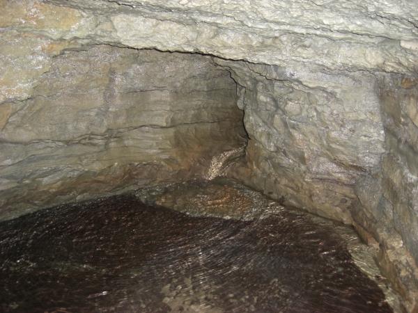
Picture of the measurement site
Location of the station Weissbrunnen
| Measurement site | Category |
|---|---|
 Schwürbitz Schwürbitz | Rivers: Runoff, Waterlevel, Water temperature, Water temperature |
| Wirsberg | Rivers: Runoff, Waterlevel |
| Kauerndorf | Rivers: Runoff, Waterlevel |
| Untersteinach | Rivers: Runoff, Waterlevel |
© Bayerisches Landesamt für Umwelt 2025