
- Start >
- Groundwater >
- Waterlevel of upper layer >
- Bayern >
- Weibersbrunn S 4 >
- Master data

Master data Weibersbrunn S 4
Site number: 4172
Measuring point system: Grundnetz
Community: Weibersbrunn
District: Aschaffenburg
Operator:  Wasserwirtschaftsamt Aschaffenburg
Aquifer: Unterer Buntsandstein
Measurement site depth under ground: 120.00 m
Ground level: 335.69 m above sealevel
Easting: 528420 (ETRS89 / UTM Zone 32N)
Northing: 5531409
Observation period: 03.08.1999 to 05.03.2025
Hauptwerte (Tagesmittelwerte):
Maximum waterlevel (HHW): 299.11 m above sealevel
Mean waterlevel (MW): 294.63 m above sealevel
Minimum waterlevel (NNW): 290.86 m above sealevel
Mean Highest Groundwater Level (MHGW): 297.09 m above sealevel (Period: 01.11.1998 - 01.11.2025)
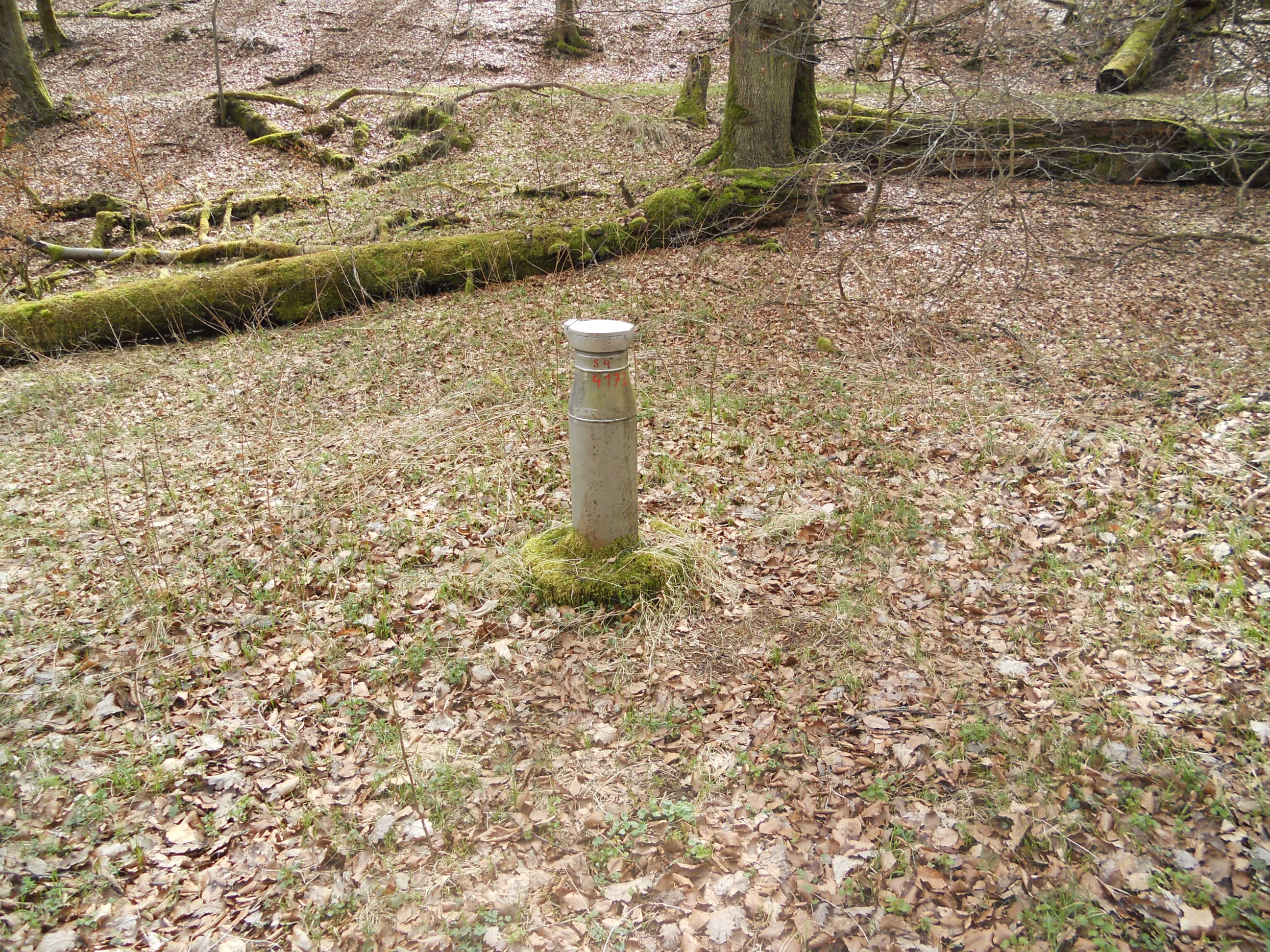
Picture of the measurement site
Location of the station Weibersbrunn S 4

Measurement site | Category |
|---|---|
 Frammersbach Frammersbach | Rivers: Runoff, Waterlevel |
| Partenstein | Rivers: Runoff, Waterlevel |
| Hafenlohr | Rivers: Runoff, Waterlevel |
| Rück | Rivers: Runoff, Waterlevel |