
- Start >
- Groundwater >
- Waterlevel of upper layer >
- Untere Donau >
- Pörndorf ost >
- Master data

Master data Pörndorf ost
Site number: 18659
Measuring point system: Staatliches Sondernetz
Community: Aldersbach
District: Passau
Operator:  Wasserwirtschaftsamt Deggendorf
Aquifer:
Measurement site depth under ground: 5.30 m
Ground level: 326.84 m above sealevel
Easting: 796160 (ETRS89 / UTM Zone 32N)
Northing: 5390596
Observation period: 04.10.2005 to 24.10.2024
Maximum waterlevel (HHW): 327.02 m above sealevel
Mean waterlevel (MW): 325.35 m above sealevel
Minimum waterlevel (NNW): 325.12 m above sealevel
Mean Highest Groundwater Level (MHGW): 326.30 m above sealevel (Period: 01.11.2004 - 01.11.2024)
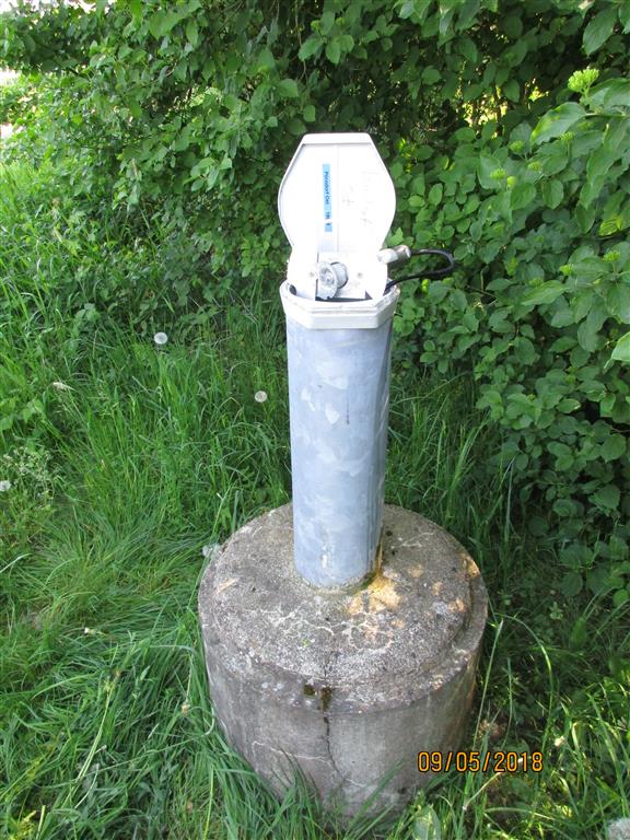
Picture of the measurement site
Location of the station Pörndorf ost
| Measurement site | Category |
|---|---|
 Hofkirchen Hofkirchen | Rivers: Runoff, Waterlevel |
| Plattling | Rivers: Runoff, Waterlevel, Suspended sediment |
| Auerbach | Rivers: Runoff, Waterlevel |
| Grafenmühle | Rivers: Runoff, Waterlevel, Water temperature, Water temperature |