
- Start >
- Groundwater >
- Waterlevel of upper layer >
- Untere Donau >
- SOSSAU G3 >
- Master data

Master data SOSSAU G3
Site number: 15694
Measuring point system: Staatliches Sondernetz
Community: Dingolfing
District: Dingolfing-Landau
Operator:  Wasserwirtschaftsamt Landshut
Aquifer:
Measurement site depth under ground: 10.50 m
Ground level: 353.80 m above sealevel
Easting: 759117 (ETRS89 / UTM Zone 32N)
Northing: 5394065
Observation period: 27.12.1971 to 23.10.2024
Maximum waterlevel (HHW): 350.85 m above sealevel
Mean waterlevel (MW): 350.06 m above sealevel
Minimum waterlevel (NNW): 348.50 m above sealevel
Mean Highest Groundwater Level (MHGW): 350.24 m above sealevel (Period: 01.11.1971 - 01.11.2024)
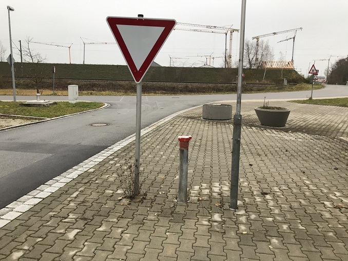
Picture of the measurement site
Location of the station SOSSAU G3
| Measurement site | Category |
|---|---|
 Pfelling Pfelling | Rivers: Runoff, Waterlevel |
| Grafentraubach | Rivers: Runoff, Waterlevel |
| Salching | Rivers: Runoff, Waterlevel |
| Haberkofen | Rivers: Runoff, Waterlevel |