
- Start >
- Groundwater >
- Waterlevel of upper layer >
- Untere Donau >
- VILSBIBURG Q1 >
- Master data

Master data VILSBIBURG Q1
Site number: 42024
Measuring point system: Staatliches Sondernetz
Community: Vilsbiburg
District: Landshut
Operator:  Wasserwirtschaftsamt Landshut
Aquifer: Quartär
Measurement site depth under ground: 8.00 m
Ground level: 438.74 m above sealevel
Easting: 747963 (ETRS89 / UTM Zone 32N)
Northing: 5371408
Observation period: 21.10.2005 to 25.12.2024
Maximum waterlevel (HHW): 438.15 m above sealevel
Mean waterlevel (MW): 436.95 m above sealevel
Minimum waterlevel (NNW): 436.14 m above sealevel
Mean Highest Groundwater Level (MHGW): 437.36 m above sealevel (Period: 01.11.2004 - 01.11.2025)
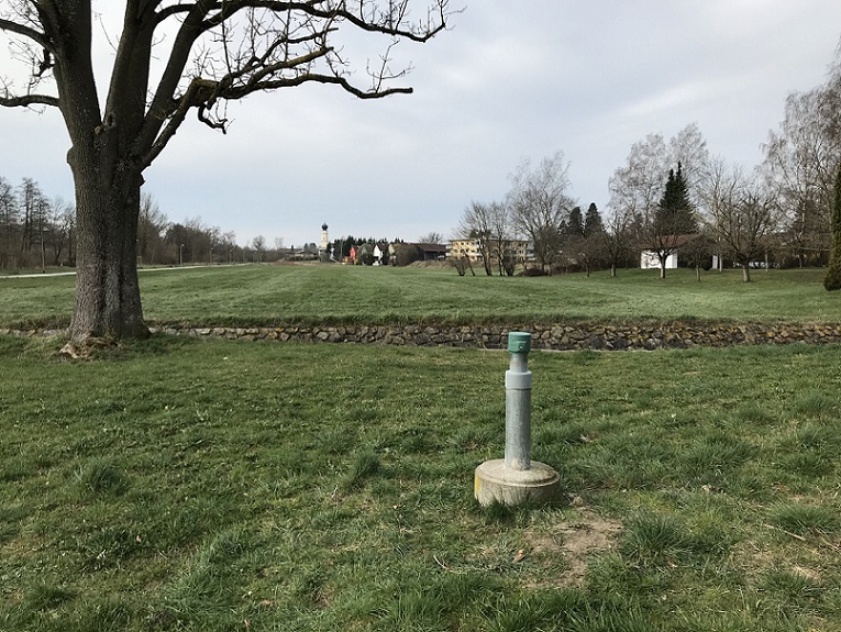
Picture of the measurement site
Location of the station VILSBIBURG Q1
| Measurement site | Category |
|---|---|
 Landshut Birket Landshut Birket | Rivers: Runoff, Waterlevel, Water temperature, Water temperature, Suspended sediment |
| Aham | Rivers: Runoff, Waterlevel |
| Dietelskirchen | Rivers: Runoff, Waterlevel, Water temperature, Water temperature |
| Großschwindau | Rivers: Runoff, Waterlevel |