
- Start >
- Lakes >
- Waterlevel >
- Bayern >
- Brombachsee >
- Master data

Master data Brombachsee
Site number: 24214456
Community: Absberg
District: Weißenburg-Gunzenhausen
Operator:  Wasserwirtschaftsamt Ansbach
Body of water: Brombachsee
Catchment: 57.90 km2
River chainage: 3.43 km
Easting: 638215 (ETRS89 / UTM Zone 32N)
Northing: 5444449
Gauge zero point: 0.00 m above sealevel
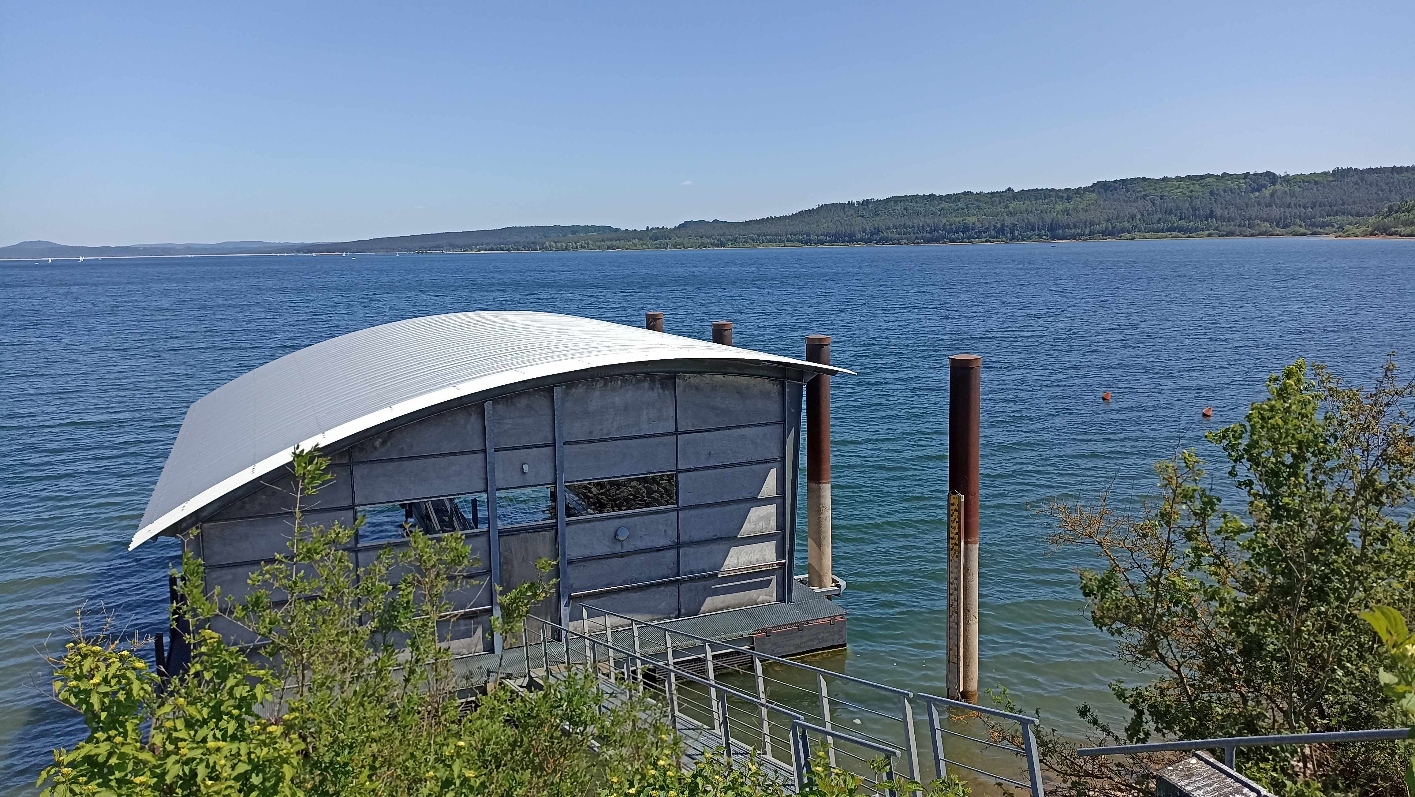
Picture of the measurement site
Location of the station Brombachsee / Brombachsee
| Measurement site | Category |
|---|---|
 Hahnenkammsee Hahnenkammsee | Rivers: Runoff, Waterlevel |
| Gunzenhausen | Rivers: Runoff |
| Aha | Rivers: Runoff, Waterlevel |
| Treuchtlingen | Rivers: Runoff, Waterlevel |
© Bayerisches Landesamt für Umwelt 2026