
- Start >
- Lakes >
- Waterlevel >
- Oberer Main - Elbe >
- Trinkwassertalsperre Mauthaus >
- Master data

Master data Trinkwassertalsperre Mauthaus
Site number: 24143700
Community: Nordhalben
District: Kronach
Operator:  Wasserwirtschaftsamt Kronach
Body of water: Trinkwassertalsperre Mauthaus
Catchment: 39.60 km2
River chainage: 2.00 km
Easting: 676997 (ETRS89 / UTM Zone 32N)
Northing: 5577714
Gauge zero point: 0.00 m above sealevel
Webcam-Bild der Messstelle
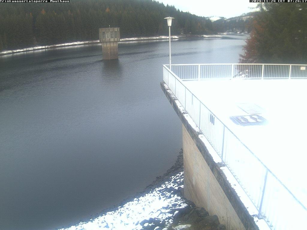
Picture of the measurement site
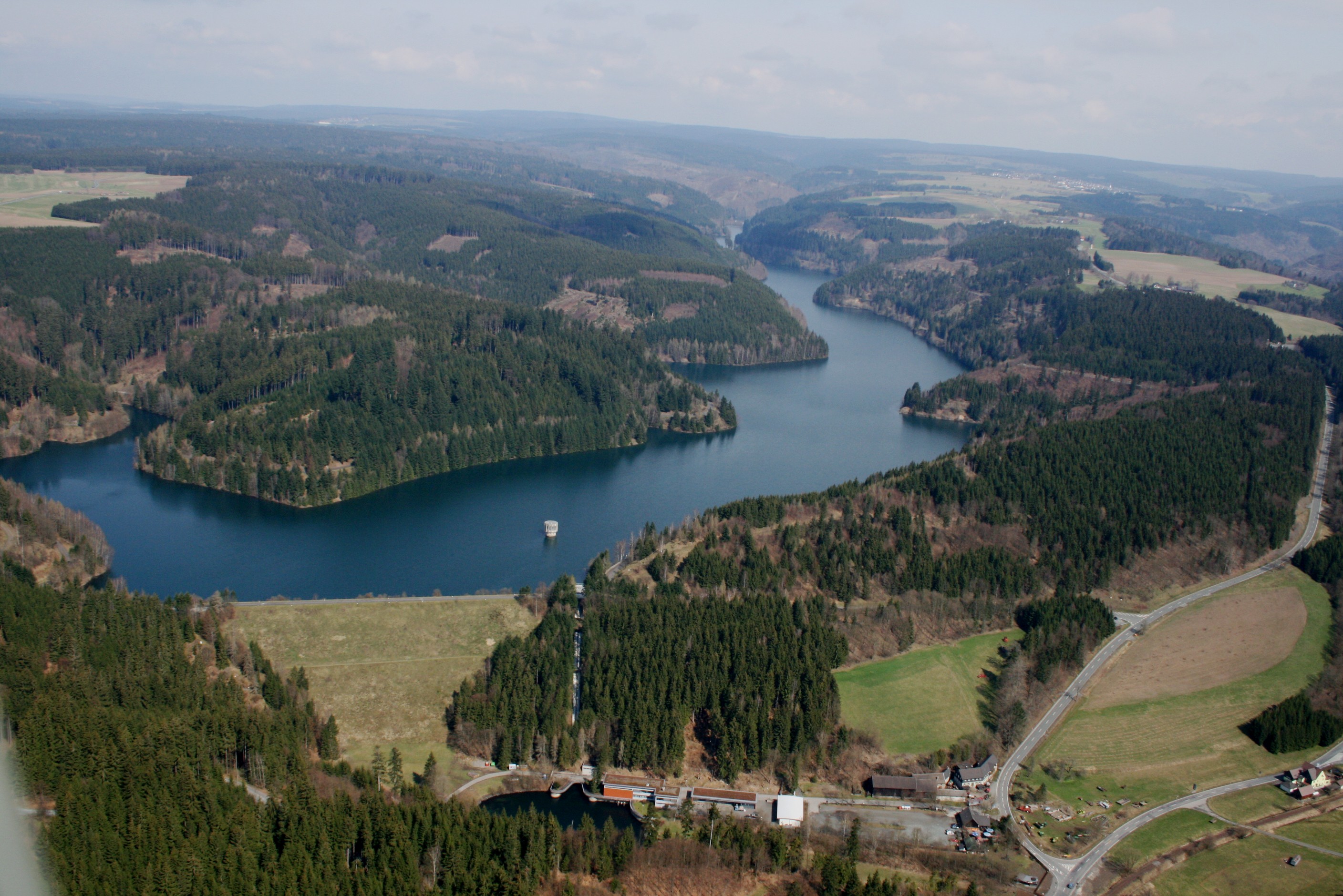
Location of the station Trinkwassertalsperre Mauthaus / Trinkwassertalsperre Mauthaus
| Measurement site | Category |
|---|---|
 Mainleus Mainleus | Rivers: Runoff, Waterlevel, Water temperature, Water temperature |
| Ködnitz | Rivers: Runoff, Waterlevel, Water temperature, Water temperature |
| Kulmbach | Rivers: Runoff, Waterlevel |
| Wirsberg | Rivers: Runoff, Waterlevel |
© Bayerisches Landesamt für Umwelt 2026