
- Start >
- Meteorology >
- Air moisture >
- Oberer Main - Elbe >
- Presseck >
- Master data

Master data Presseck
Site number: 4000
Community: Presseck
District: Kulmbach
Operator: Bayerisches Landesamt für Umwelt
Easting: 681734 (ETRS89 / UTM Zone 32N)
Northing: 5567023
Ground level: 640 m above sealevel
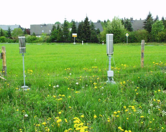
Picture of the measurement site
Location of the station Presseck

Measurement site | Category |
|---|---|
 Bad Berneck Bad Berneck | Rivers: Runoff, Waterlevel |
| Wirsberg | Rivers: Runoff, Waterlevel |
| Kauerndorf | Rivers: Runoff, Waterlevel |
| Untersteinach | Rivers: Runoff, Waterlevel |
© Bayerisches Landesamt für Umwelt 2025