
- Start >
- Meteorology >
- Precipitation >
- Bayern >
- Stadelhofen >
- Master data

Master data Stadelhofen
Site number: 4801
Community: Stadelhofen
District: Bamberg
Operator: Bayerisches Landesamt für Umwelt
Easting: 657863 (ETRS89 / UTM Zone 32N)
Northing: 5541706
Ground level: 460 m above sealevel
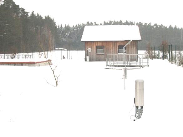
Picture of the measurement site
Location of the station Stadelhofen

Measurement site | Category |
|---|---|
 Schwürbitz Schwürbitz | Rivers: Runoff, Waterlevel, Water temperature, Water temperature |
| Unterlangenstadt | Rivers: Runoff, Waterlevel |
| Hollfeld | Rivers: Runoff, Waterlevel, Water temperature, Water temperature |
| Behringersmühle | Rivers: Runoff, Waterlevel, Suspended sediment |
© Bayerisches Landesamt für Umwelt 2025