
- Start >
- Meteorology >
- Precipitation >
- Oberer Main - Elbe >
- Halblech-Buching >
- Master data

Master data Halblech-Buching
Site number: 1950
Community: Halblech
District: Ostallgäu
Operator: Bayerisches Landesamt für Umwelt
Easting: 635665 (ETRS89 / UTM Zone 32N)
Northing: 5275118
Ground level: 780 m above sealevel
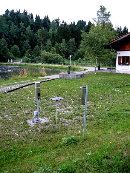
Picture of the measurement site
Location of the station Halblech-Buching

Measurement site | Category |
|---|---|
 Lechbruck Lechbruck | Rivers: Runoff, Waterlevel |
| Pfronten Ried | Rivers: Runoff, Waterlevel |
| Eschach | Rivers: Runoff, Waterlevel |
| Trauchgau | Rivers: Runoff, Waterlevel |
© Bayerisches Landesamt für Umwelt 2025