
- Start >
- Meteorology >
- Precipitation >
- Isar >
- Mering >
- Master data

Master data Mering
Site number: 3258
Community: Mering
District: Aichach-Friedberg
Operator: Bayerisches Landesamt für Umwelt
Easting: 646711 (ETRS89 / UTM Zone 32N)
Northing: 5348282
Ground level: 508 m above sealevel
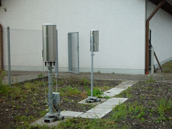
Picture of the measurement site
Location of the station Mering
| Measurement site | Category |
|---|---|
 Achsheim Achsheim | Rivers: Runoff, Waterlevel |
| Landsberg | Rivers: Runoff, Waterlevel |
| Haunstetten | Rivers: Runoff, Waterlevel |
| Augsburg u. d. Wertachmündung | Rivers: Runoff, Waterlevel |
© Bayerisches Landesamt für Umwelt 2026