
- Start >
- Meteorology >
- Precipitation >
- Naab - Regen >
- Gramais/Österreich >
- Master data

Master data Gramais/Österreich
Site number: 6288
Community: Gramais
District:
Operator: Bayerisches Landesamt für Umwelt
Easting: 616038 (ETRS89 / UTM Zone 32N)
Northing: 5236340
Ground level: 1320 m above sealevel
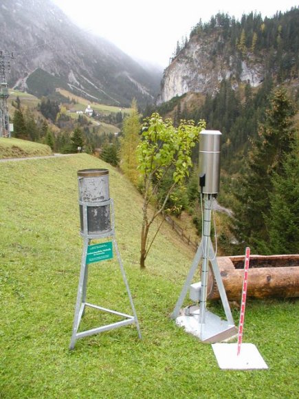
Picture of the measurement site
Location of the station Gramais/Österreich

Measurement site | Category |
|---|---|
 Schöllang Schöllang | Rivers: Runoff, Waterlevel |
| Reckenberg | Rivers: Runoff, Waterlevel |
| Gruben | Rivers: Runoff, Waterlevel |
| Spielmannsau | Rivers: Runoff, Waterlevel |
© Bayerisches Landesamt für Umwelt 2025