
- Start >
- Meteorology >
- Snow >
- Iller - Lech - Bodensee >
- Breitenbrunn-Fürbuch >
- Master data

Master data Breitenbrunn-Fürbuch
Site number: 677
Community: Breitenbrunn
District: Unterallgäu
Operator: Bayerisches Landesamt für Umwelt
Easting: 601580 (ETRS89 / UTM Zone 32N)
Northing: 5331286
Ground level: 610 m above sealevel
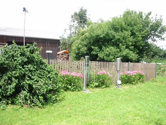
Picture of the measurement site
Location of the station Breitenbrunn-Fürbuch
| Measurement site | Category |
|---|---|
 Roth Roth | Rivers: Runoff, Waterlevel |
| Lauben | Rivers: Runoff, Waterlevel |
| Nattenhausen | Rivers: Runoff, Waterlevel |
| Waldstetten | Rivers: Runoff, Waterlevel, Water temperature, Water temperature |
© Bayerisches Landesamt für Umwelt 2025