
- Start >
- Rivers >
- Discharge >
- Bayern >
- Haunstetten >
- Master data

Master data Haunstetten
Site number: 12003500
District: Augsburg
Operator:  Wasserwirtschaftsamt Donauwörth
Body of water: Lech
Catchment: 2347.30 km2
River chainage: 50.40 km
Easting: 644265 (ETRS89 / UTM Zone 32N)
Northing: 5353319
Gauge zero point: 491.52 m NHN (DHHN2016)
Picture of the measurement site
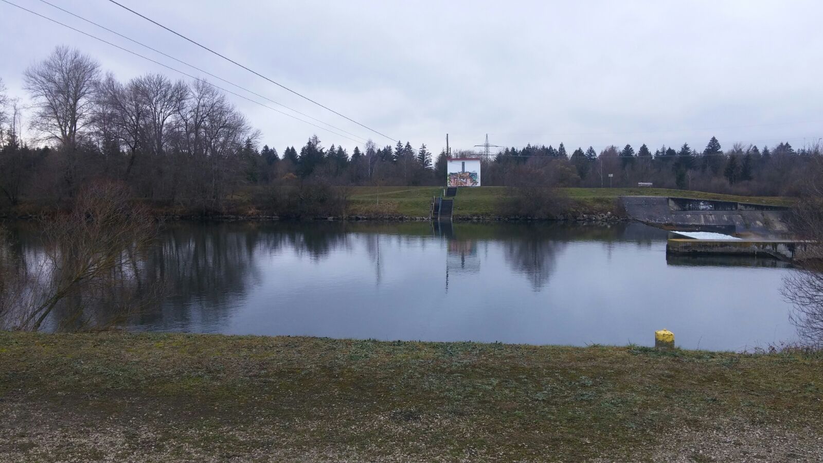
Location of the station Haunstetten / Lech

Measurement site | Category |
|---|---|
 Achsheim Achsheim | Rivers: Runoff, Waterlevel |
| Haunstetten | Rivers: Runoff, Waterlevel |
| Augsburg u. d. Wertachmündung | Rivers: Runoff, Waterlevel |
| Langerringen | Rivers: Runoff, Waterlevel |
© Bayerisches Landesamt für Umwelt 2025