
- Start >
- Rivers >
- Discharge >
- Oberer Main - Elbe >
- Schwürbitz >
- Master data

Master data Schwürbitz
Site number: 24006007
Community: Michelau i.OFr.
District: Lichtenfels
Operator:  Wasserwirtschaftsamt Kronach
Body of water: Main
Catchment: 2418.60 km2
River chainage: 438.29 km
Easting: 653648 (ETRS89 / UTM Zone 32N)
Northing: 5559177
Gauge zero point: 263.46 m NHN (DHHN2016)
Picture of the measurement site
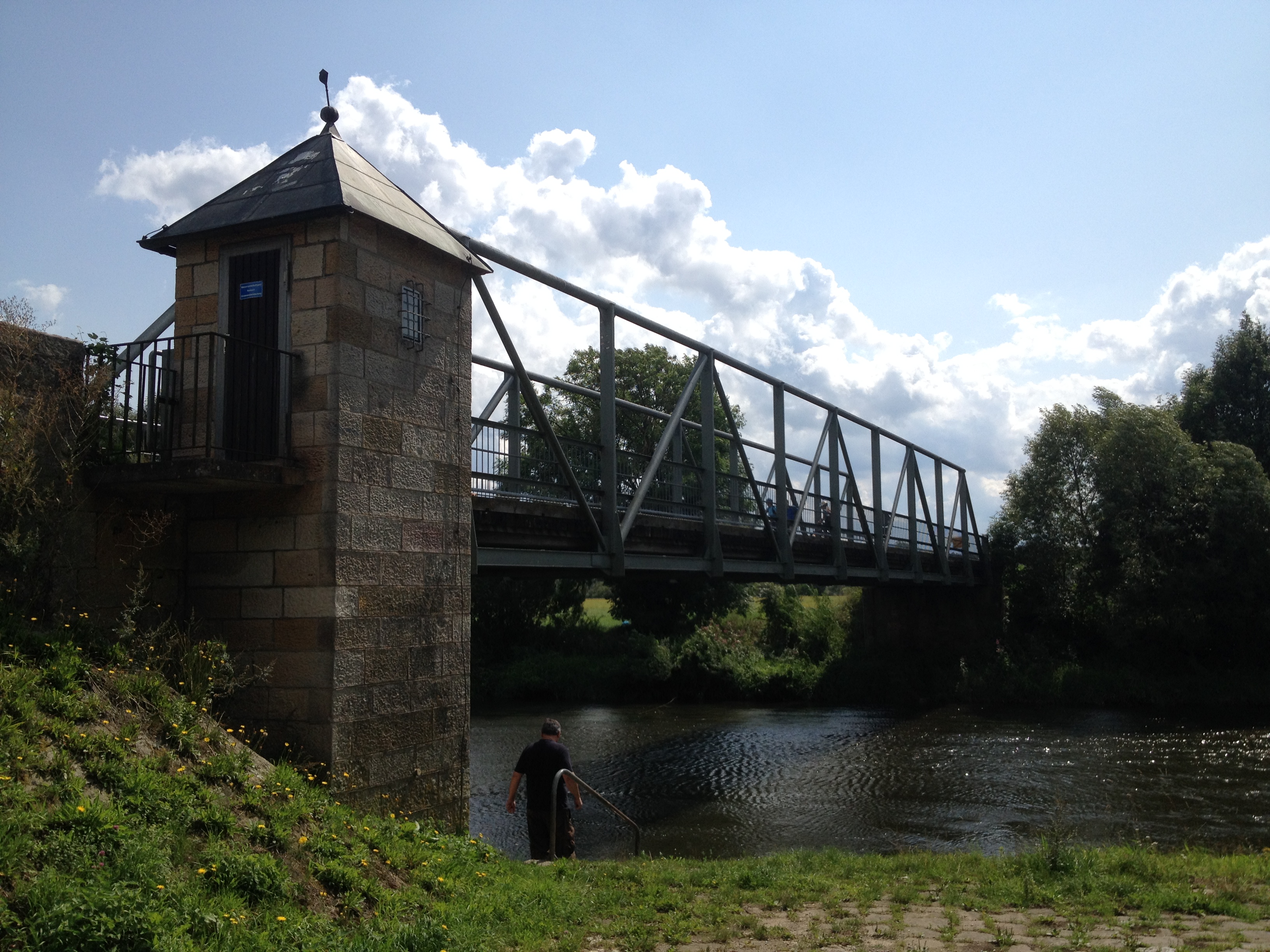
Location of the station Schwürbitz / Main
| Measurement site | Category |
|---|---|
 Mainleus Mainleus | Rivers: Runoff, Waterlevel, Water temperature, Water temperature |
| Schwürbitz | Rivers: Runoff, Waterlevel, Water temperature, Water temperature |
| Weismain | Rivers: Runoff, Waterlevel, Water temperature, Water temperature |
| Unterlangenstadt | Rivers: Runoff, Waterlevel |
© Bayerisches Landesamt für Umwelt 2026