
- Start >
- Rivers >
- Discharge >
- Iller - Lech - Bodensee >
- Thalhofen >
- Master data

Master data Thalhofen
Site number: 12404705
Community: Marktoberdorf
District: Ostallgäu
Operator:  Wasserwirtschaftsamt Kempten
Body of water: Wertach
Catchment: 299.30 km2
River chainage: 91.61 km
Easting: 619530 (ETRS89 / UTM Zone 32N)
Northing: 5292349
Gauge zero point: 722.62 m NHN (DHHN2016)
Picture of the measurement site
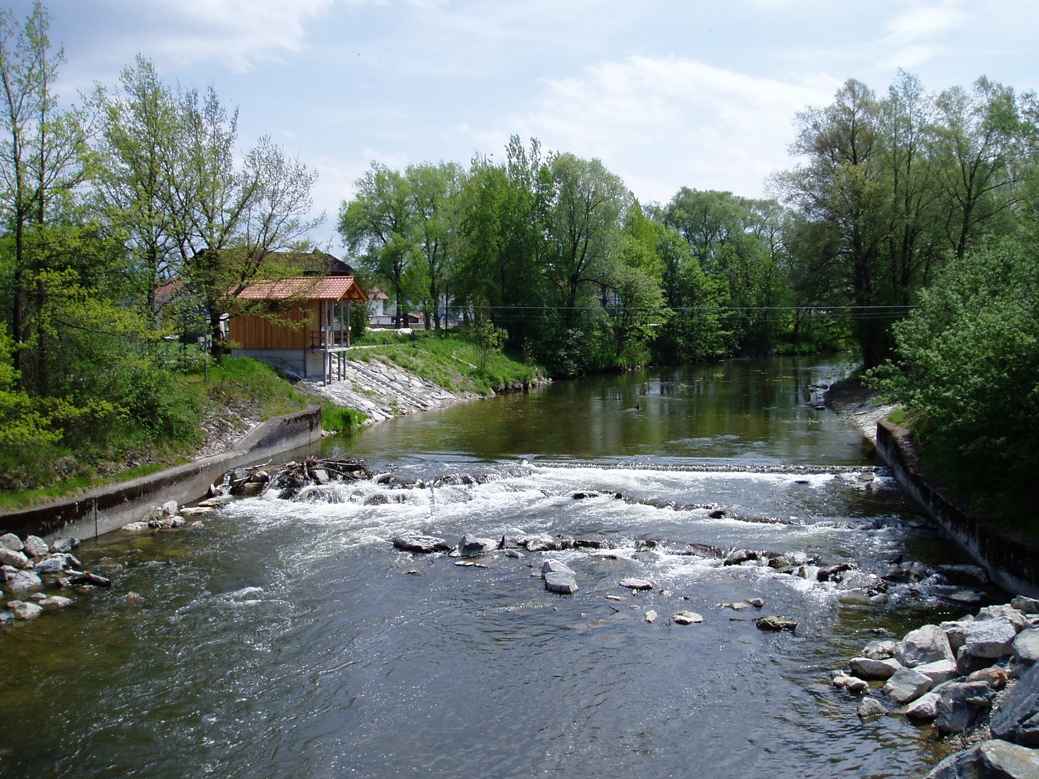
Location of the station Thalhofen / Wertach
| Measurement site | Category |
|---|---|
 Gschwend Gschwend | Rivers: Runoff, Waterlevel |
| Greifenmühle | Rivers: Runoff, Waterlevel |
| Dirlewang HRB Abfluss | Rivers: Runoff |
| Füssen | Rivers: Runoff, Waterlevel, Suspended sediment |
© Bayerisches Landesamt für Umwelt 2026