
- Start >
- Rivers >
- Discharge >
- Naab - Regen >
- Ösbühl >
- Master data

Master data Ösbühl
Site number: 15247501
Community: Furth im Wald
District: Cham
Operator:  Wasserwirtschaftsamt Regensburg
Body of water: Danglesbach
Catchment: 27.00 km2
River chainage: 1.80 km
Easting: 783028 (ETRS89 / UTM Zone 32N)
Northing: 5470376
Gauge zero point: 410.77 m NHN (DHHN2016)
Picture of the measurement site
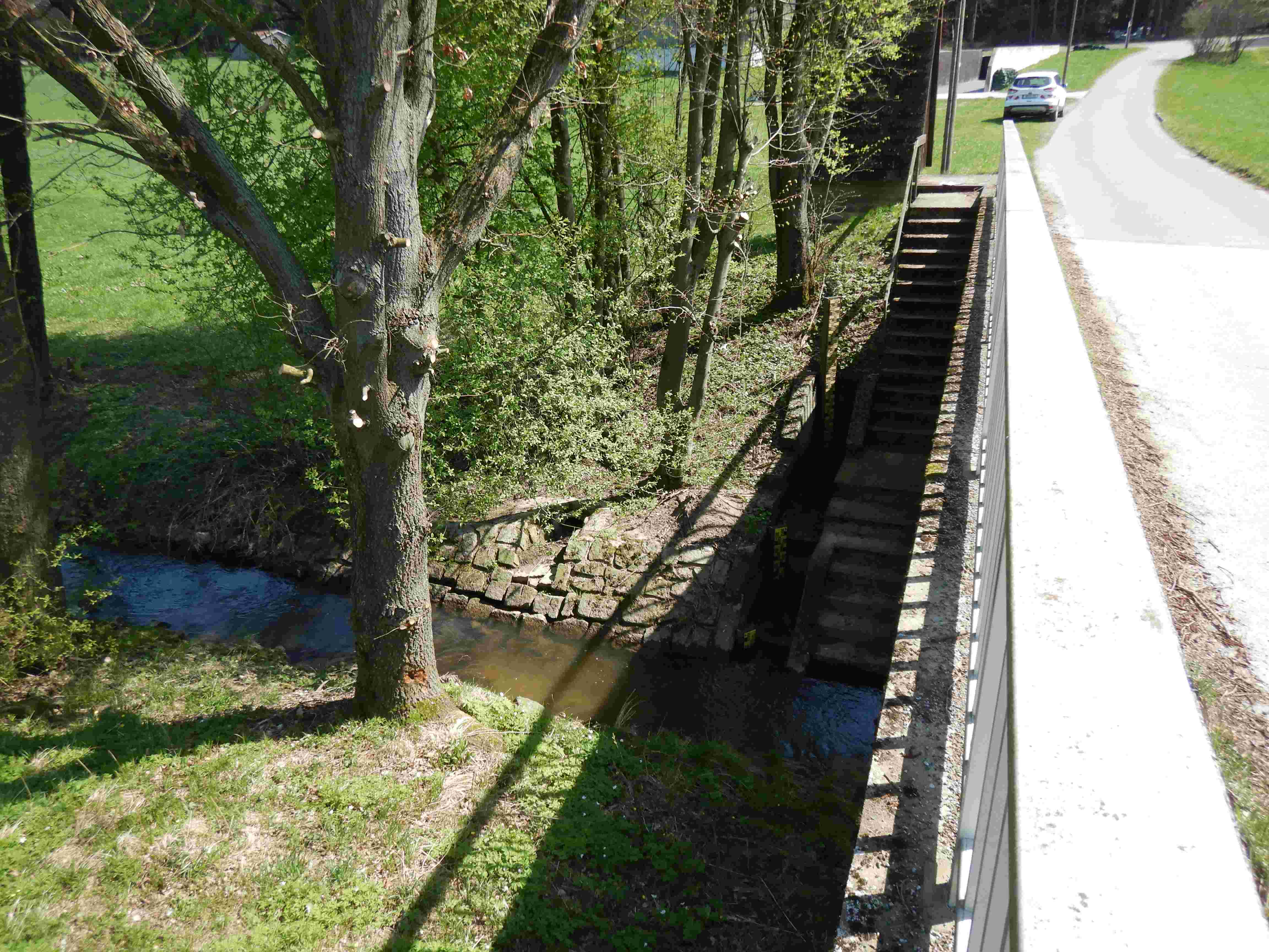
Location of the station Ösbühl / Danglesbach
| Measurement site | Category |
|---|---|
 Höll Höll | Rivers: Runoff, Waterlevel |
| Hocha Perlseeabfluss | Rivers: Runoff, Waterlevel |
| Chamerau | Rivers: Runoff, Waterlevel |
| Sägmühle | Rivers: Runoff, Waterlevel |
© Bayerisches Landesamt für Umwelt 2026