
- Start >
- Rivers >
- Discharge >
- Untere Donau >
- Geisenfeld >
- Master data

Master data Geisenfeld
Site number: 13325502
Community: Geisenfeld
District: Pfaffenhofen a.d. Ilm
Operator:  Wasserwirtschaftsamt Ingolstadt
Body of water: Ilm
Catchment: 455.90 km2
River chainage: 28.60 km
Easting: 692644 (ETRS89 / UTM Zone 32N)
Northing: 5395525
Gauge zero point: 370.84 m NHN (DHHN2016)
Picture of the measurement site
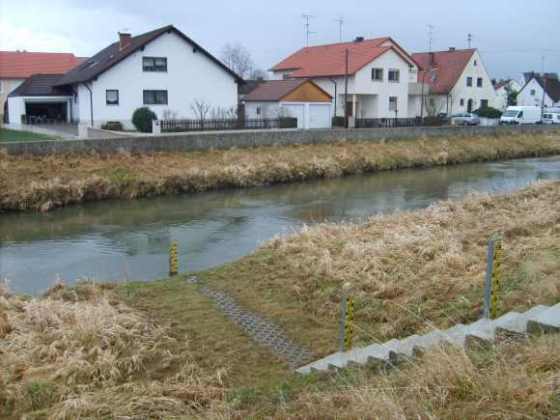
Location of the station Geisenfeld / Ilm
| Measurement site | Category |
|---|---|
 Ingolstadt Luitpoldstraße Ingolstadt Luitpoldstraße | Rivers: Runoff, Waterlevel, Water temperature, Water temperature, Suspended sediment |
| Neustadt | Rivers: Runoff, Waterlevel, Water temperature, Water temperature |
| Kelheim | Rivers: Runoff, Waterlevel, Water temperature, Water temperature |
| Manching (Ort) | Rivers: Runoff, Waterlevel, Water temperature, Water temperature |
© Bayerisches Landesamt für Umwelt 2026