
- Start >
- Rivers >
- Discharge >
- Untere Donau >
- Landshut Birket >
- Master data

Master data Landshut Birket
Site number: 16007004
Community: Landshut
District: Landshut
Operator:  Wasserwirtschaftsamt Landshut
Body of water: Isar
Catchment: 7917.80 km2
River chainage: 76.47 km
Easting: 731336 (ETRS89 / UTM Zone 32N)
Northing: 5379682
Gauge zero point: 388.62 m NHN (DHHN2016)
Webcam-Bild der Messstelle
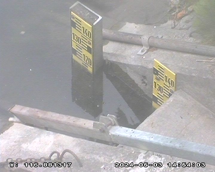
Picture of the measurement site
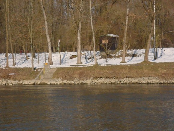
Location of the station Landshut Birket / Isar
| Measurement site | Category |
|---|---|
 Rottenburg Rottenburg | Rivers: Runoff, Waterlevel |
| Moosburg | Rivers: Runoff, Waterlevel |
| Landshut Birket | Rivers: Runoff, Waterlevel, Water temperature, Water temperature, Suspended sediment |
| Landshut (virtuell) | Rivers: Runoff |
© Bayerisches Landesamt für Umwelt 2026