
- Start >
- Rivers >
- Waterlevel >
- Bayern >
- Bad Aibling >
- Chart of year

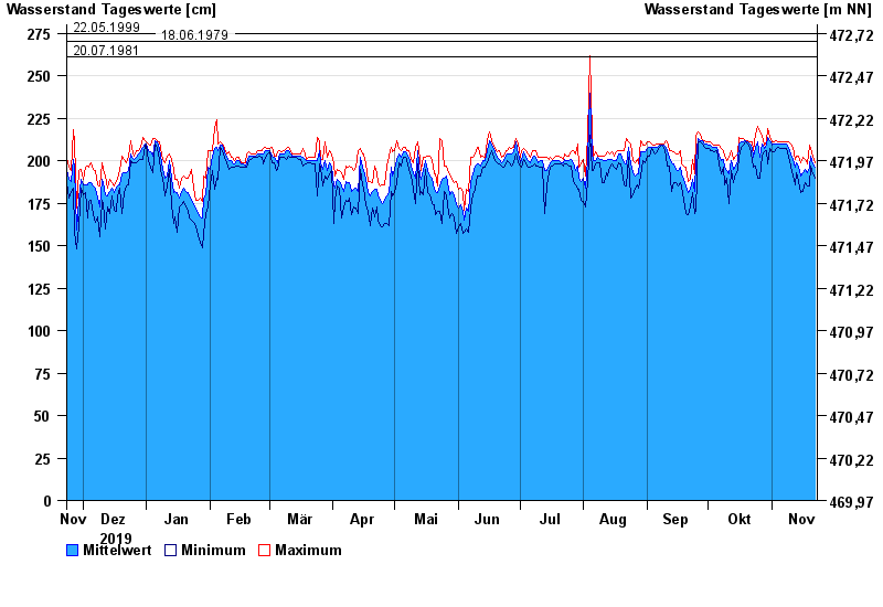
Chart of year Bad Aibling / Triftbach linker Mühlkanal
Waterlevel from 23.11.2019 to 22.11.2020
- 02.06.2013 Wasserstand: 332 cm
- 09.07.1954 Wasserstand: 313 cm
- 14.06.1959 Wasserstand: 291 cm
- 24.07.1966 Wasserstand: 283 cm
- 10.08.1970 Wasserstand: 280 cm
| Date | Mean value [cm] | Maximum [cm] | Minimum [cm] |
|---|---|---|---|
| 22.11.2020 | 196 | 199 | 190 |
| 21.11.2020 | 198 | 203 | 192 |
| 20.11.2020 | 203 | 207 | 197 |
| 19.11.2020 | 196 | 209 | 185 |
| 18.11.2020 | 193 | 198 | 185 |
| 17.11.2020 | 195 | 201 | 187 |
| 16.11.2020 | 193 | 202 | 182 |
© Bayerisches Landesamt für Umwelt 2025