
- Start >
- Rivers >
- Waterlevel >
- Bayern >
- Furth im Wald >
- Master data

Master data Furth im Wald
Site number: 15243001
District: Cham
Operator:  Wasserwirtschaftsamt Regensburg
Body of water: Chamb
Catchment: 280.10 km2
River chainage: 19.60 km
Easting: 778880 (ETRS89 / UTM Zone 32N)
Northing: 5468131
Gauge zero point: 388.33 m NHN (DHHN2016)
Picture of the measurement site
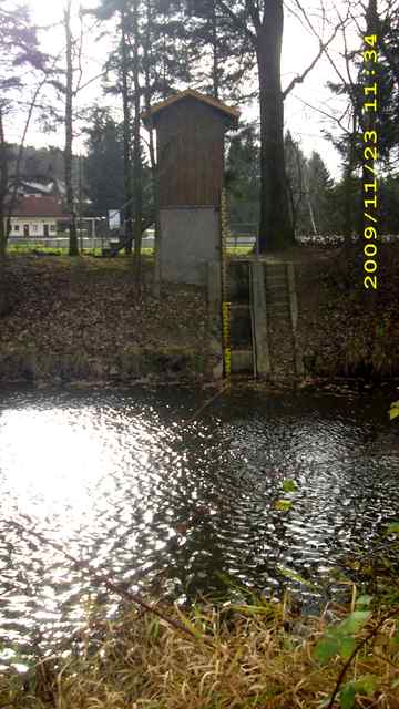
Location of the station Furth im Wald / Chamb

Measurement site | Category |
|---|---|
 Höll Höll | Rivers: Runoff, Waterlevel |
| Tiefenbach | Rivers: Runoff, Waterlevel |
| Chamerau | Rivers: Runoff, Waterlevel |
| Sägmühle | Rivers: Runoff, Waterlevel |
© Bayerisches Landesamt für Umwelt 2025