
- Start >
- Rivers >
- Waterlevel >
- Bayern >
- Passau >
- Master data

Master data Passau
Site number: 10091008
District: Passau
Operator:  Wasserstraßen und Schifffahrtsamt Donau MDK
Body of water: Donau
Catchment: 49737.90 km2
River chainage: 2.226.70 km
Easting: 828841 (ETRS89 / UTM Zone 32N)
Northing: 5389938
Gauge zero point: 286.44 m NHN (DHHN2016)
Picture of the measurement site
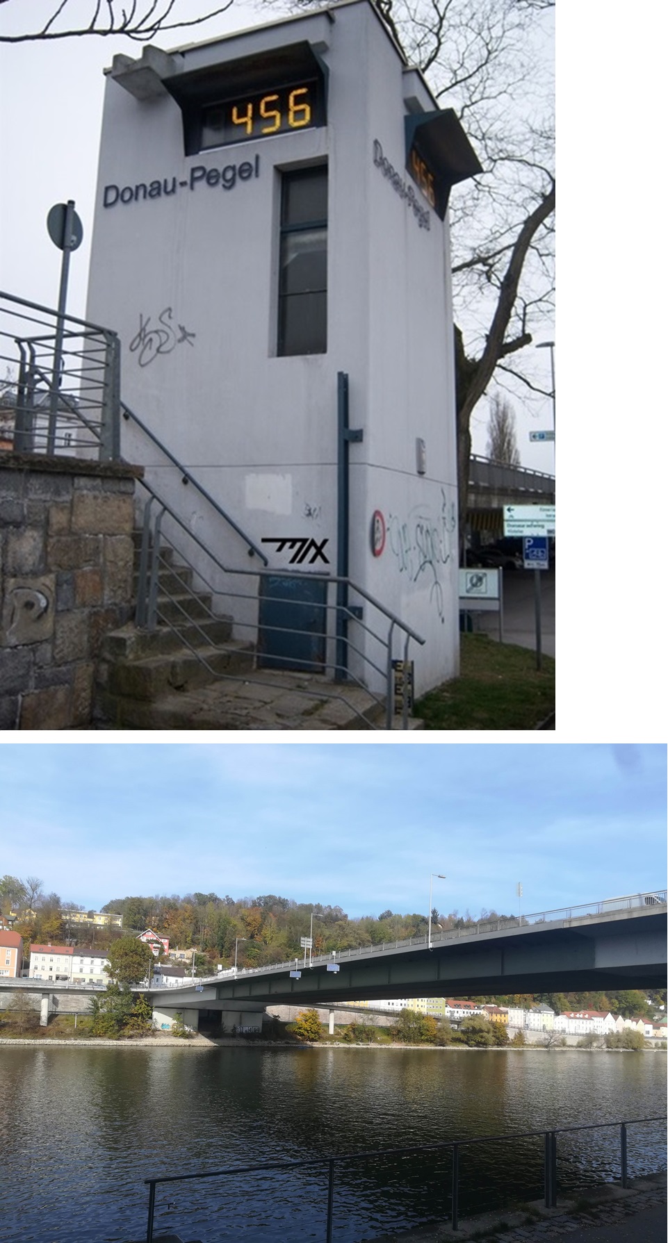
Location of the station Passau / Donau
| Measurement site | Category |
|---|---|
 Hörmannsberg Hörmannsberg | Rivers: Runoff, Waterlevel |
| Schrottenbaummühle | Rivers: Runoff, Waterlevel |
| Eberhardsreuth | Rivers: Runoff, Waterlevel |
| Fürsteneck | Rivers: Runoff, Waterlevel |
© Bayerisches Landesamt für Umwelt 2025