
- Start >
- Rivers >
- Waterlevel >
- Bayern >
- Vilshofen >
- Master data

Master data Vilshofen
Site number: 10089006
Community: Vilshofen an der Donau
District: Passau
Operator:  Wasserstraßen- und Schifffahrtsamt Donau MDK
Body of water: Donau
Catchment: 47758.20 km2
River chainage: 2.249.47 km
Easting: 808101 (ETRS89 / UTM Zone 32N)
Northing: 5395584
Gauge zero point: 297.04 m NHN (DHHN2016)
Picture of the measurement site
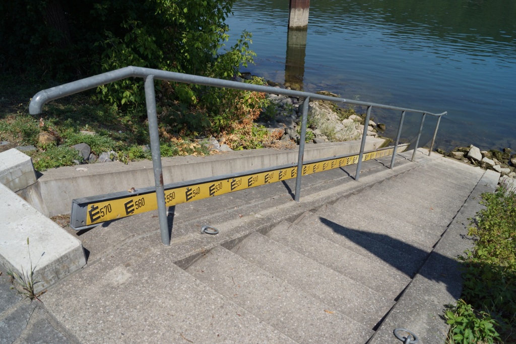
Location of the station Vilshofen / Donau
| Measurement site | Category |
|---|---|
 Hofkirchen Hofkirchen | Rivers: Runoff, Waterlevel |
| Deggendorf | Rivers: Runoff, Waterlevel |
| Auerbach | Rivers: Runoff, Waterlevel |
| Grafenmühle | Rivers: Runoff, Waterlevel, Water temperature, Water temperature |
© Bayerisches Landesamt für Umwelt 2026