
- Start >
- Rivers >
- Waterlevel >
- Oberer Main - Elbe >
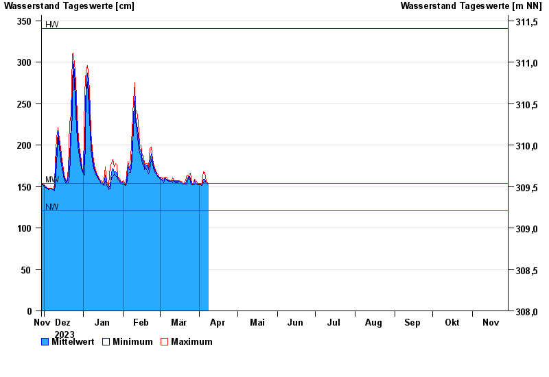
- Kauerndorf >
- Chart of year

Chart of year Kauerndorf / Schorgast
Waterlevel from 29.11.2023 to 28.11.2024
| Date | Mean value [cm] | Maximum [cm] | Minimum [cm] |
|---|---|---|---|
| 28.11.2024 | 146 | 146 | 145 |
| 27.11.2024 | 146 | 149 | 145 |
| 26.11.2024 | 146 | 150 | 144 |
| 25.11.2024 | 145 | 146 | 144 |
| 24.11.2024 | 145 | 146 | 145 |
| 23.11.2024 | 147 | 149 | 145 |
| 22.11.2024 | 151 | 153 | 149 |
© Bayerisches Landesamt für Umwelt 2025