
- Start >
- Rivers >
- Waterlevel >
- Oberer Main - Elbe >
- Ködnitz >
- Master data

Master data Ködnitz
Site number: 24110955
Community: Ködnitz
District: Kulmbach
Operator:  Wasserwirtschaftsamt Hof
Body of water: Weißer Main
Catchment: 313.60 km2
River chainage: 0.00 km
Easting: 680617 (ETRS89 / UTM Zone 32N)
Northing: 5552155
Gauge zero point: 311.66 m NHN (DHHN2016)
Picture of the measurement site
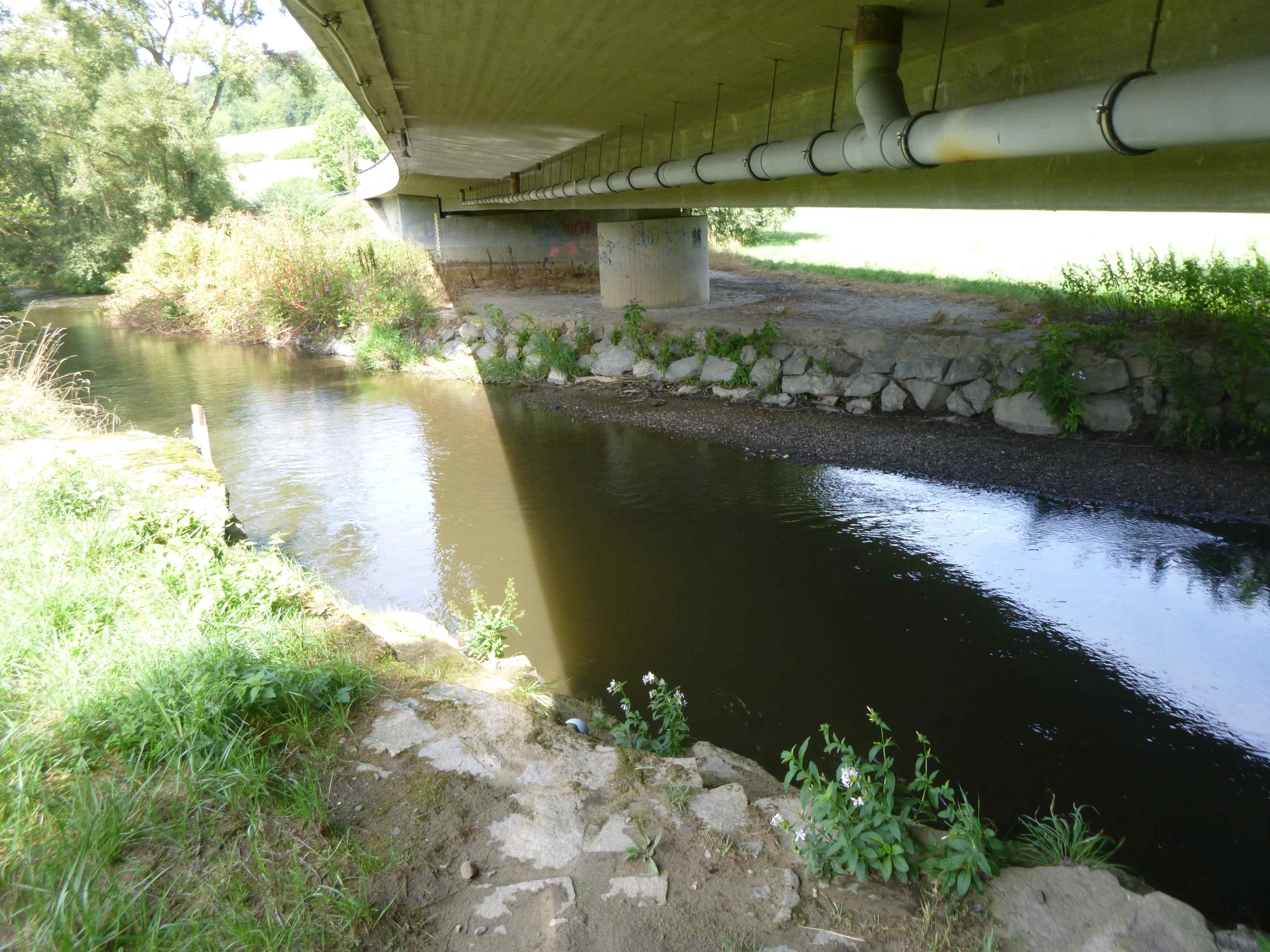
Location of the station Ködnitz / Weißer Main
| Measurement site | Category |
|---|---|
 Mainleus Mainleus | Rivers: Runoff, Waterlevel, Water temperature, Water temperature |
| Bad Berneck | Rivers: Runoff, Waterlevel |
| Ködnitz | Rivers: Runoff, Waterlevel, Water temperature, Water temperature |
| Kulmbach | Rivers: Runoff, Waterlevel |
© Bayerisches Landesamt für Umwelt 2026