
- Start >
- Rivers >
- Waterlevel >
- Iller - Lech - Bodensee >
- Lechbruck >
- Master data

Master data Lechbruck
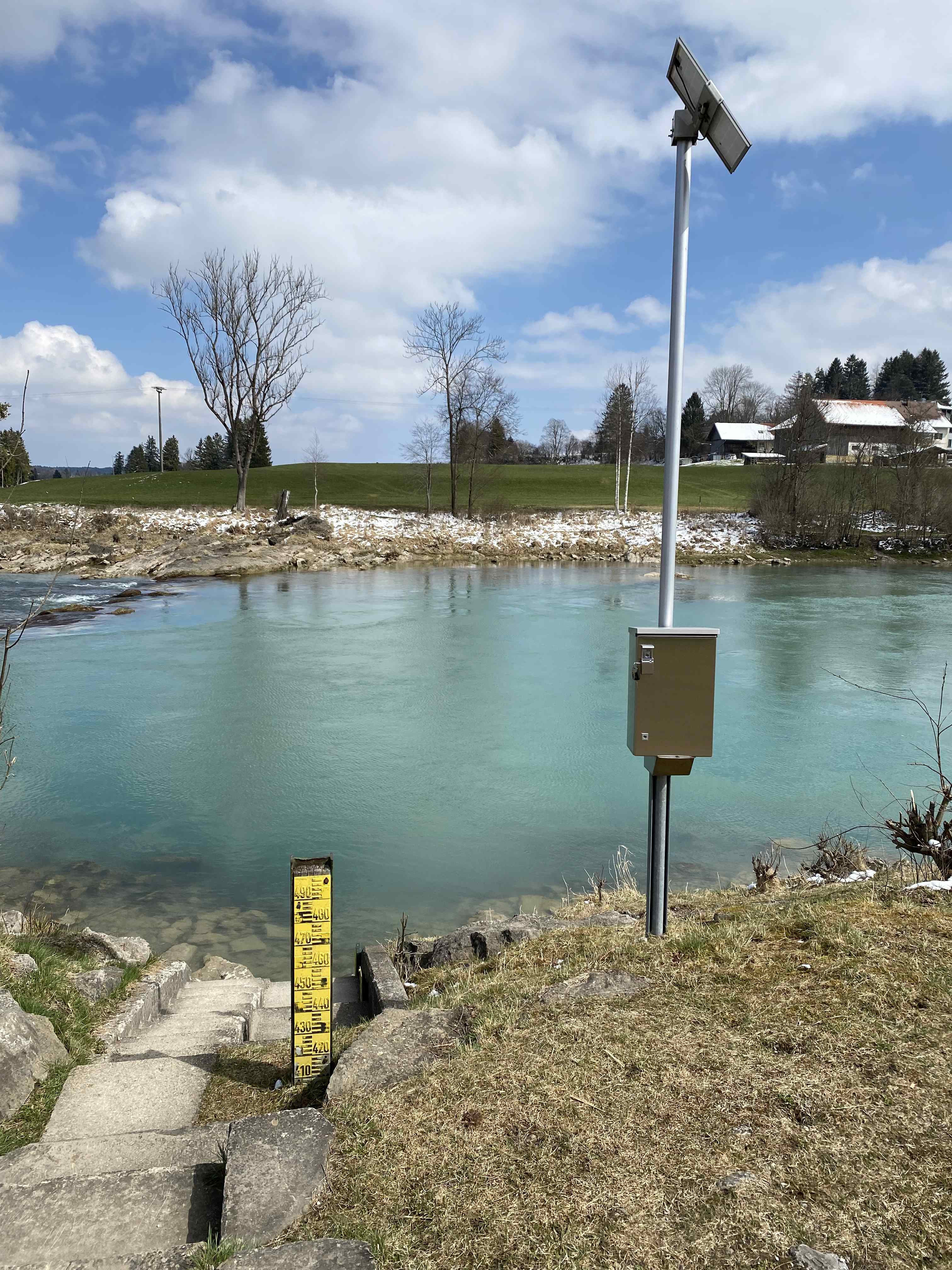
Site number: 12002009
District: Ostallgäu
Operator:  Wasserwirtschaftsamt Weilheim
Body of water: Lech
Catchment: 1703.40 km2
River chainage: 146.60 km
Easting: 634901 (ETRS89 / UTM Zone 32N)
Northing: 5284319
Gauge zero point: 721.54 m NHN (DHHN2016)
Picture of the measurement site
Location of the station Lechbruck / Lech

Measurement site | Category |
|---|---|
 Lechbruck Lechbruck | Rivers: Runoff, Waterlevel |
| Pfronten Ried | Rivers: Runoff, Waterlevel |
| Eschach | Rivers: Runoff, Waterlevel |
| Trauchgau | Rivers: Runoff, Waterlevel |
© Bayerisches Landesamt für Umwelt 2025