
- Start >
- Rivers >
- Waterlevel >
- Iller - Lech - Bodensee >
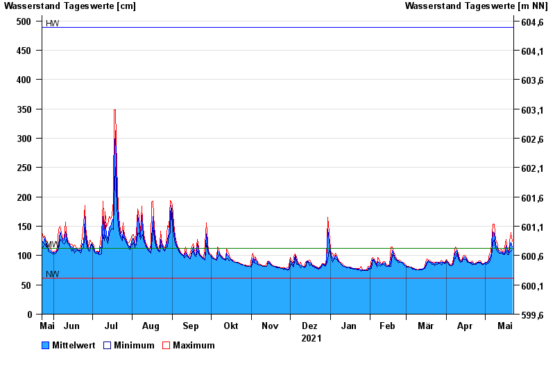
- Schlehdorf >
- Chart of year

Chart of year Schlehdorf / Loisach
Waterlevel from 23.05.2021 to 22.05.2022
| Date | Mean value [cm] | Maximum [cm] | Minimum [cm] |
|---|---|---|---|
| 22.05.2022 | 115 | 124 | 110 |
| 21.05.2022 | 123 | 139 | 107 |
| 20.05.2022 | 114 | 124 | 106 |
| 19.05.2022 | 103 | 106 | 101 |
| 18.05.2022 | 107 | 110 | 101 |
| 17.05.2022 | 117 | 127 | 109 |
| 16.05.2022 | 104 | 113 | 101 |
© Bayerisches Landesamt für Umwelt 2025