
- Start >
- Rivers >
- Waterlevel >
- Isar >
- Druisheim >
- Master data

Master data Druisheim
Site number: 11946000
Community: Mertingen
District: Donau-Ries
Operator:  Wasserwirtschaftsamt Donauwörth
Body of water: Schmutter
Catchment: 492.80 km2
River chainage: 11.59 km
Easting: 633983 (ETRS89 / UTM Zone 32N)
Northing: 5388527
Gauge zero point: 412.03 m NHN (DHHN2016)
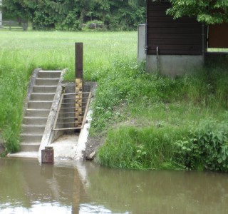
Picture of the measurement site
Location of the station Druisheim / Schmutter
| Measurement site | Category |
|---|---|
 Donauwörth Donauwörth | Rivers: Runoff, Waterlevel, Water temperature, Water temperature, Suspended sediment |
| Bertoldsheim KW | Rivers: Runoff |
| Heroldingen | Rivers: Runoff, Waterlevel |
| Harburg | Rivers: Runoff, Waterlevel |
© Bayerisches Landesamt für Umwelt 2026