
- Start >
- Rivers >
- Waterlevel >
- Isar >
- Geisenfeld >
- Chart of month

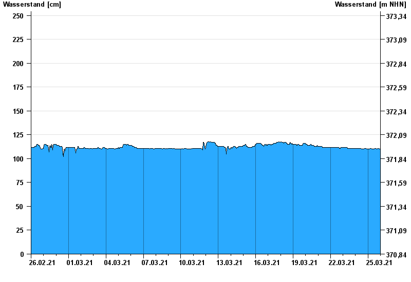
Chart of month Geisenfeld / Ilm
Waterlevel from 26.02.2021 to 25.03.2021
Abflussermittlung
Die Abflussermittlung wird durch den saisonalen Pflanzenbewuchs im Gewässer beeinträchtigt.
- 13.04.1994 Wasserstand: 373 cm
- 03.06.2013 Wasserstand: 335 cm
- 15.02.1990 Wasserstand: 306 cm
- 10.03.2006 Wasserstand: 291 cm
- 02.06.1995 Wasserstand: 290 cm
| Date | Waterlevel [cm] |
|---|---|
| 25.03.2021 23:45 | 110 |
| 25.03.2021 23:30 | 110 |
| 25.03.2021 23:15 | 110 |
| 25.03.2021 23:00 | 110 |
| 25.03.2021 22:45 | 110 |
| 25.03.2021 22:30 | 110 |
| 25.03.2021 22:15 | 110 |
© Bayerisches Landesamt für Umwelt 2024