
- Start >
- Rivers >
- Waterlevel >
- Isar >
- Landsberg >
- Master data

Master data Landsberg
Site number: 12003001
Community: Landsberg am Lech
District: Landsberg am Lech
Operator:  Wasserwirtschaftsamt Weilheim
Body of water: Lech
Catchment: 2282.60 km2
River chainage: 85.40 km
Easting: 639754 (ETRS89 / UTM Zone 32N)
Northing: 5322614
Gauge zero point: 582.26 m NHN (DHHN2016)
Picture of the measurement site
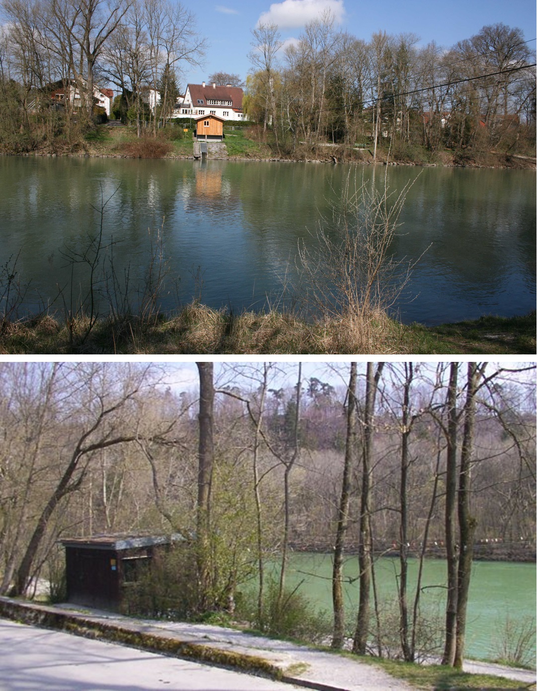
Location of the station Landsberg / Lech
| Measurement site | Category |
|---|---|
 Landsberg Landsberg | Rivers: Runoff, Waterlevel |
| Unterbergen | Rivers: Runoff, Waterlevel |
| Biessenhofen | Rivers: Runoff, Waterlevel |
| Türkheim | Rivers: Runoff, Waterlevel |
© Bayerisches Landesamt für Umwelt 2026