
- Start >
- Rivers >
- Waterlevel >
- Isar >
- Oberammergau >
- Chart of month

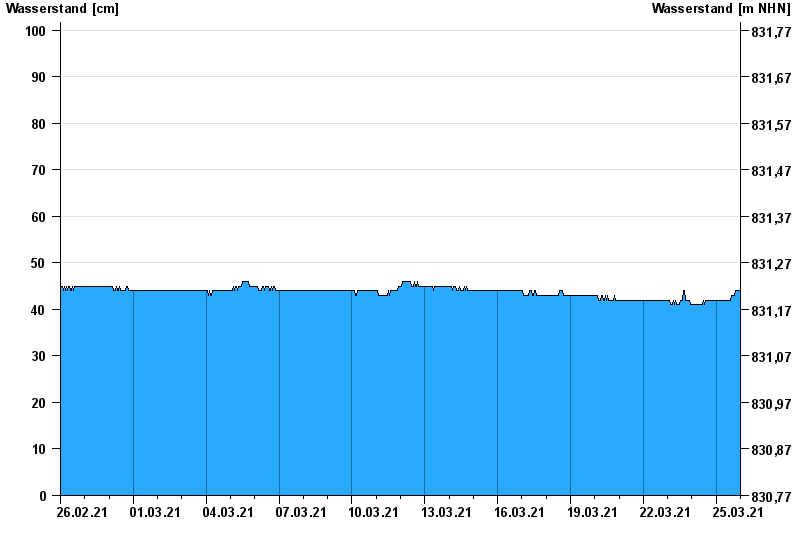
Chart of month Oberammergau / Ammer
Waterlevel from 26.02.2021 to 25.03.2021
- 22.05.1999 Wasserstand: 376 cm
- 23.08.2005 Wasserstand: 316 cm
- 12.08.2002 Wasserstand: 254 cm
- 20.07.1981 Wasserstand: 250 cm
- 18.06.1979 Wasserstand: 233 cm
| Date | Waterlevel [cm] |
|---|---|
| 25.03.2021 23:45 | 44 |
| 25.03.2021 23:30 | 44 |
| 25.03.2021 23:15 | 44 |
| 25.03.2021 23:00 | 44 |
| 25.03.2021 22:45 | 44 |
| 25.03.2021 22:30 | 44 |
| 25.03.2021 22:15 | 44 |
© Bayerisches Landesamt für Umwelt 2024