
- Start >
- Rivers >
- Waterlevel >
- Obere Donau >
- Roth >
- Master data

Master data Roth
Site number: 11548007
Community: Pfaffenhofen a.d.Roth
District: Neu-Ulm
Operator:  Wasserwirtschaftsamt Donauwörth
Body of water: Roth
Catchment: 169.00 km2
River chainage: 10.26 km
Easting: 585266 (ETRS89 / UTM Zone 32N)
Northing: 5358018
Gauge zero point: 476.14 m NHN (DHHN2016)
Picture of the measurement site
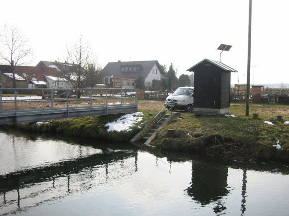
Location of the station Roth / Roth
| Measurement site | Category |
|---|---|
 Neu-Ulm Neu-Ulm | Rivers: Runoff, Waterlevel, Water temperature, Water temperature, Suspended sediment |
| Neu-Ulm Bad Held | Rivers: Runoff, Waterlevel |
| Neu-Ulm Q | Rivers: Runoff |
| Günzburg u. d. Günzmündung | Rivers: Runoff, Waterlevel |
© Bayerisches Landesamt für Umwelt 2026