
- Start >
- Rivers >
- Waterlevel >
- Untere Donau >
- Passau Ingling >
- Chart of year

Chart of year Passau Ingling / Inn
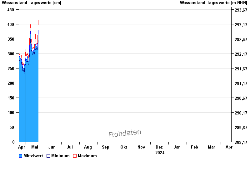
Waterlevel from 19.04.2024 to 18.04.2025
- Hochwassergefahrenfläche HQ100 1140 cm
| Date | Mean value [cm] | Maximum [cm] | Minimum [cm] |
|---|---|---|---|
| 17.07.2024 | 345 | 357 | 320 |
| 16.07.2024 | 372 | 388 | 354 |
| 15.07.2024 | 386 | 399 | 366 |
| 14.07.2024 | 435 | 474 | 399 |
| 13.07.2024 | 496 | 548 | 457 |
| 12.07.2024 | 406 | 450 | 377 |
| 11.07.2024 | 388 | 422 | 355 |
© Bayerisches Landesamt für Umwelt 2024