
- Start >
- Rivers >
- Waterlevel >
- Untere Donau >
- Plattling >
- Master data

Master data Plattling
Site number: 16008506
Community: Plattling
District: Deggendorf
Operator:  Wasserwirtschaftsamt Deggendorf
Body of water: Isar
Catchment: 8612.80 km2
River chainage: 9.12 km
Easting: 785327 (ETRS89 / UTM Zone 32N)
Northing: 5409266
Gauge zero point: 316.26 m NHN (DHHN2016)
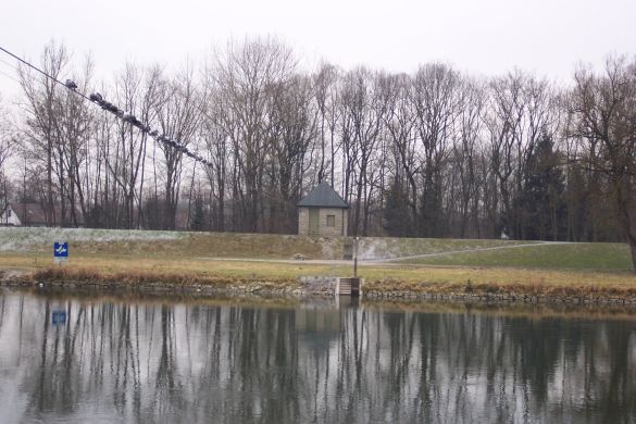
Picture of the measurement site
Location of the station Plattling / Isar
| Measurement site | Category |
|---|---|
 Pfelling Pfelling | Rivers: Runoff, Waterlevel |
| Hofkirchen | Rivers: Runoff, Waterlevel |
| Haberkofen | Rivers: Runoff, Waterlevel |
| Deggendorf | Rivers: Runoff, Waterlevel |
© Bayerisches Landesamt für Umwelt 2026