
- Start >
- Groundwater >
- Waterlevel of upper layer >
- Bayern >
- GWM Straß >
- Master data

Master data GWM Straß
Site number: 11219
Measuring point system: Staatliches Sondernetz
Community: Burgheim
District: Neuburg-Schrobenhausen
Operator:  Wasserwirtschaftsamt Ingolstadt
Aquifer: Obere Süßwassermolasse
Measurement site depth under ground: 22.30 m
Ground level: 402.77 m above sealevel
Easting: 651952 (ETRS89 / UTM Zone 32N)
Northing: 5396655
Observation period: 18.03.2021 to 19.11.2024
Maximum waterlevel (HHW): --
Mean waterlevel (MW): --
Minimum waterlevel (NNW): --
Mean Highest Groundwater Level (MHGW): -- m above sealevel (Period: 01.11.2020 - 01.11.2025)
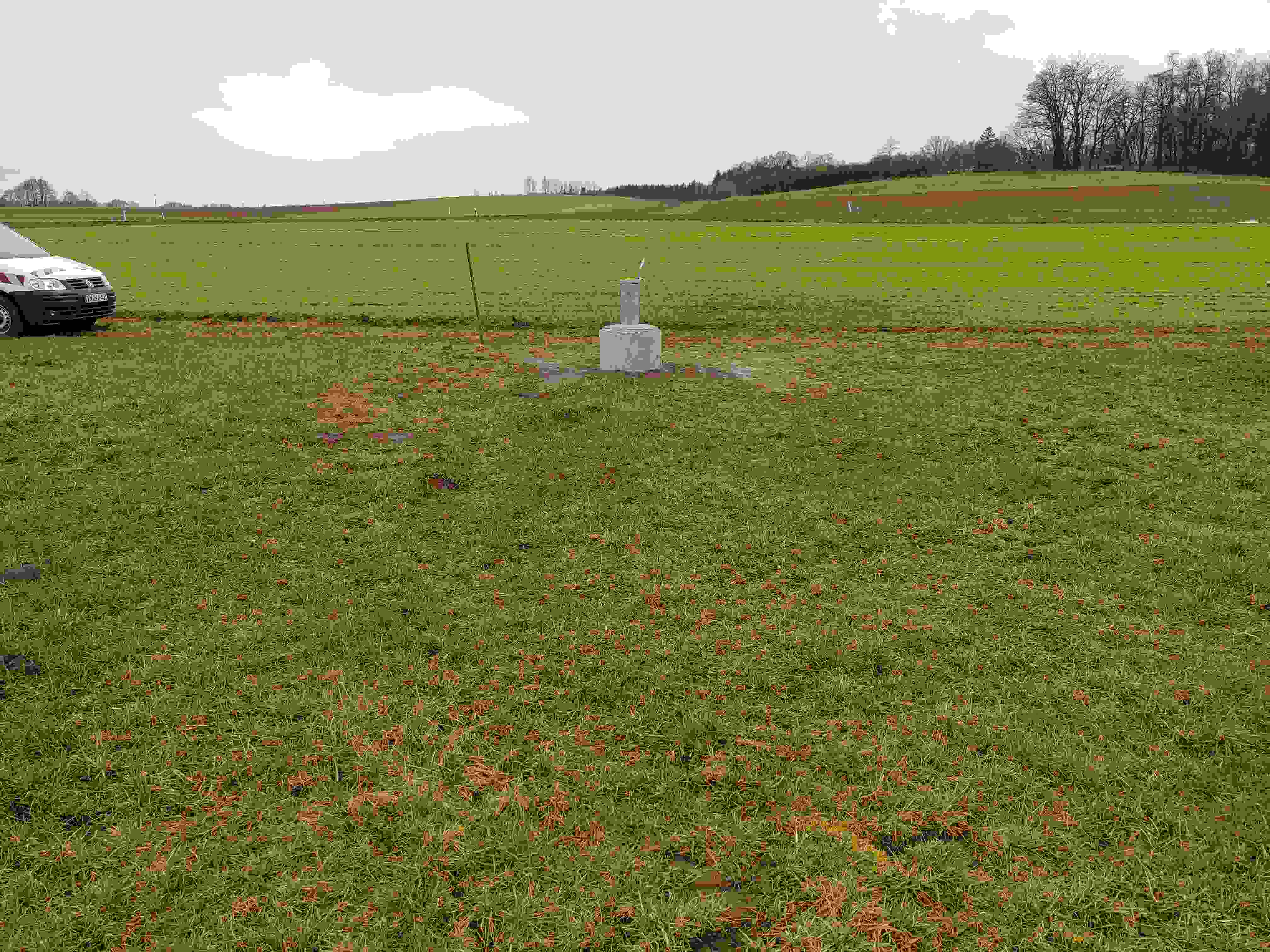
Picture of the measurement site
Location of the station GWM Straß
| Measurement site | Category |
|---|---|
 Achsheim Achsheim | Rivers: Runoff, Waterlevel |
| Mühlried | Rivers: Runoff, Waterlevel |
| Pöttmes | Rivers: Runoff, Waterlevel |
| Weichering | Rivers: Runoff, Waterlevel |