

Master data Erlabrück
Site number: 24141501
District: Kronach
Operator:  Wasserwirtschaftsamt Kronach
Body of water: Rodach
Catchment: 252.40 km2
River chainage: 30.69 km
Easting: 673181 (ETRS89 / UTM Zone 32N)
Northing: 5572384
Gauge zero point: 344.27 m NHN (DHHN2016)
Picture of the measurement site
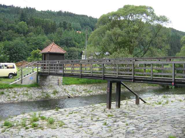
Location of the station Erlabrück / Rodach
| Measurement site | Category |
|---|---|
 Bad Berneck Bad Berneck | Rivers: Runoff, Waterlevel |
| Wirsberg | Rivers: Runoff, Waterlevel |
| Kauerndorf | Rivers: Runoff, Waterlevel |
| Untersteinach | Rivers: Runoff, Waterlevel |
© Bayerisches Landesamt für Umwelt 2024