
- Start >
- Rivers >
- Discharge >
- Bayern >
- Bernstein am Wald >
- Master data

Master data Bernstein am Wald
Site number: 24145502
District: Hof
Operator:  Wasserwirtschaftsamt Kronach
Body of water: Wilde Rodach
Catchment: 35.38 km2
River chainage: 10.70 km
Easting: 681112 (ETRS89 / UTM Zone 32N)
Northing: 5571548
Gauge zero point: 415.90 m NHN (DHHN2016)
Picture of the measurement site
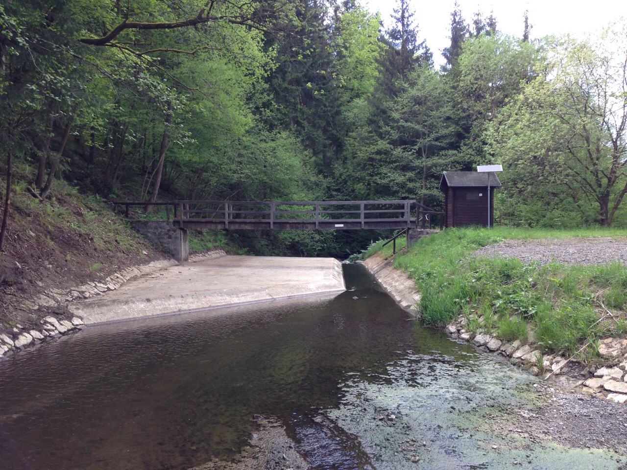
Location of the station Bernstein am Wald / Wilde Rodach
| Measurement site | Category |
|---|---|
 Bad Berneck Bad Berneck | Rivers: Runoff, Waterlevel |
| Wirsberg | Rivers: Runoff, Waterlevel |
| Kauerndorf | Rivers: Runoff, Waterlevel |
| Untersteinach | Rivers: Runoff, Waterlevel |
© Bayerisches Landesamt für Umwelt 2024