
- Start >
- Groundwater >
- Waterlevel of upper layer >
- Bayern >
- WEICHT B1 >
- Master data

Master data WEICHT B1
Site number: 13137
Measuring point system: Verdichtungsnetz
Community: Jengen
District: Ostallgäu
Operator:  Wasserwirtschaftsamt Kempten
Aquifer: Niederterrasse
Measurement site depth under ground: 12.95 m
Ground level: 629.07 m above sealevel
Easting: 625286 (ETRS89 / UTM Zone 32N)
Northing: 5317571
Observation period: 06.11.1995 to 23.04.2024
Maximum waterlevel (HHW): 627.41 m above sealevel
Mean waterlevel (MW): 623.34 m above sealevel
Minimum waterlevel (NNW): 620.76 m above sealevel
Mean Highest Groundwater Level (MHGW): 624.66 m above sealevel (Period: 01.11.1994 - 01.11.2024)
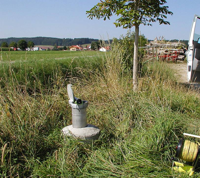
Picture of the measurement site
Location of the station WEICHT B1
| Measurement site | Category |
|---|---|
 Hasberg Hasberg | Rivers: Runoff, Waterlevel |
| Hasberg | Rivers: Runoff, Waterlevel |
| Zaisertshofen | Rivers: Runoff, Waterlevel |
| Landsberg | Rivers: Runoff, Waterlevel |