
- Start >
- Groundwater >
- Waterlevel of upper layer >
- Bayern >
- NOPPLINGER FELD FB847 >
- Master data

Master data NOPPLINGER FELD FB847
Site number: 19132
Measuring point system: Verdichtungsnetz
Community: --
District: Rottal-Inn
Operator:  Wasserwirtschaftsamt Deggendorf
Aquifer: Tertiär
Measurement site depth under ground: 32.00 m
Ground level: 446.00 m above sealevel
Easting: 790387 (ETRS89 / UTM Zone 32N)
Northing: 5357932
Observation period: 08.03.1979 to 22.03.2024
Maximum waterlevel (HHW): 430.55 m above sealevel
Mean waterlevel (MW): 429.80 m above sealevel
Minimum waterlevel (NNW): 429.35 m above sealevel
Mean Highest Groundwater Level (MHGW): 429.98 m above sealevel (Period: 01.11.1978 - 01.11.2024)
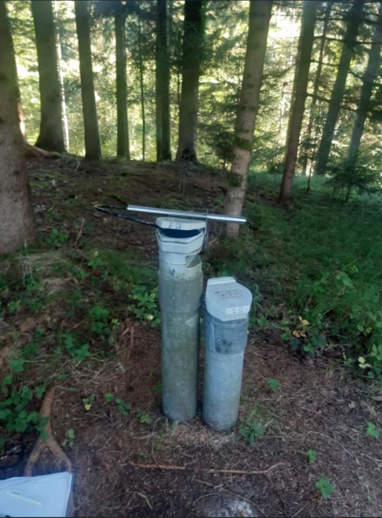
Picture of the measurement site
Location of the station NOPPLINGER FELD FB847
| Measurement site | Category |
|---|---|
 Kollbach Kollbach | Rivers: Runoff, Waterlevel |
| Burgkirchen | Rivers: Runoff, Waterlevel, Water temperature, Water temperature |
| Burghausen | Rivers: Runoff, Waterlevel |
| Simbach | Rivers: Runoff, Waterlevel |