
- Start >
- Groundwater >
- Waterlevel of upper layer >
- Bayern >
- HAIMING 380A >
- Master data

Master data HAIMING 380A
Site number: 23004
Measuring point system: Verdichtungsnetz
Community: Haiming
District: Altötting
Operator:  Wasserwirtschaftsamt Traunstein
Aquifer: Quartär
Measurement site depth under ground: 25.00 m
Ground level: 362.57 m above sealevel
Easting: 788604 (ETRS89 / UTM Zone 32N)
Northing: 5347246
Observation period: 01.11.1982 to 11.04.2024
Maximum waterlevel (HHW): 359.19 m above sealevel
Mean waterlevel (MW): 358.19 m above sealevel
Minimum waterlevel (NNW): 355.79 m above sealevel
Mean Highest Groundwater Level (MHGW): 358.46 m above sealevel (Period: 01.11.1981 - 01.11.2024)
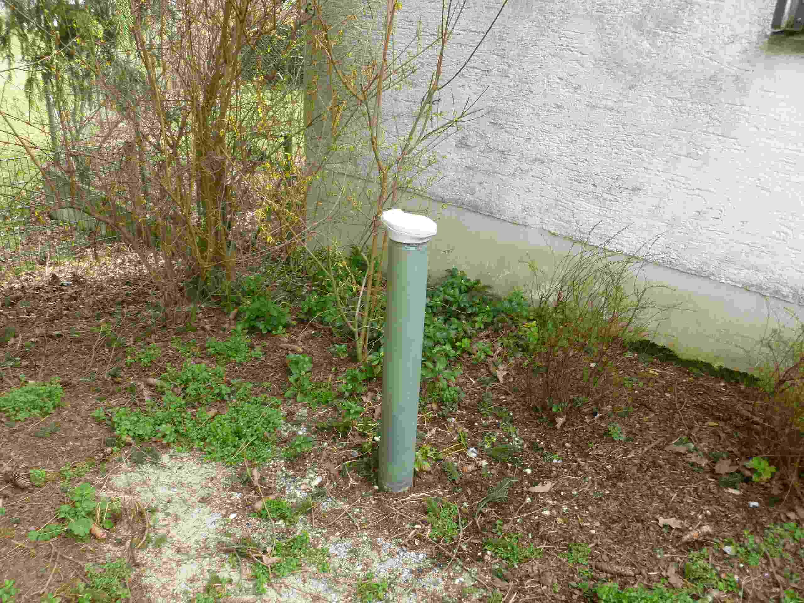
Picture of the measurement site
Location of the station HAIMING 380A
| Measurement site | Category |
|---|---|
 Burgkirchen Burgkirchen | Rivers: Runoff, Waterlevel, Water temperature, Water temperature |
| Burghausen | Rivers: Runoff, Waterlevel |
| Simbach | Rivers: Runoff, Waterlevel |
| Linden | Rivers: Runoff, Waterlevel, Suspended sediment |