
- Start >
- Groundwater >
- Waterlevel of upper layer >
- Bayern >
- SUEDL. HART 871 >
- Master data

Master data SUEDL. HART 871
Site number: 23208
Measuring point system: Staatliches Sondernetz
Community: Chieming
District: Traunstein
Operator:  Wasserwirtschaftsamt Traunstein
Aquifer:
Measurement site depth under ground: 50.00 m
Ground level: 542.09 m above sealevel
Easting: 764865 (ETRS89 / UTM Zone 32N)
Northing: 5313721
Observation period: 14.05.1981 to 23.04.2024
Maximum waterlevel (HHW): 511.17 m above sealevel
Mean waterlevel (MW): 507.27 m above sealevel
Minimum waterlevel (NNW): 504.74 m above sealevel
Mean Highest Groundwater Level (MHGW): 508.35 m above sealevel (Period: 01.11.1980 - 01.11.2024)
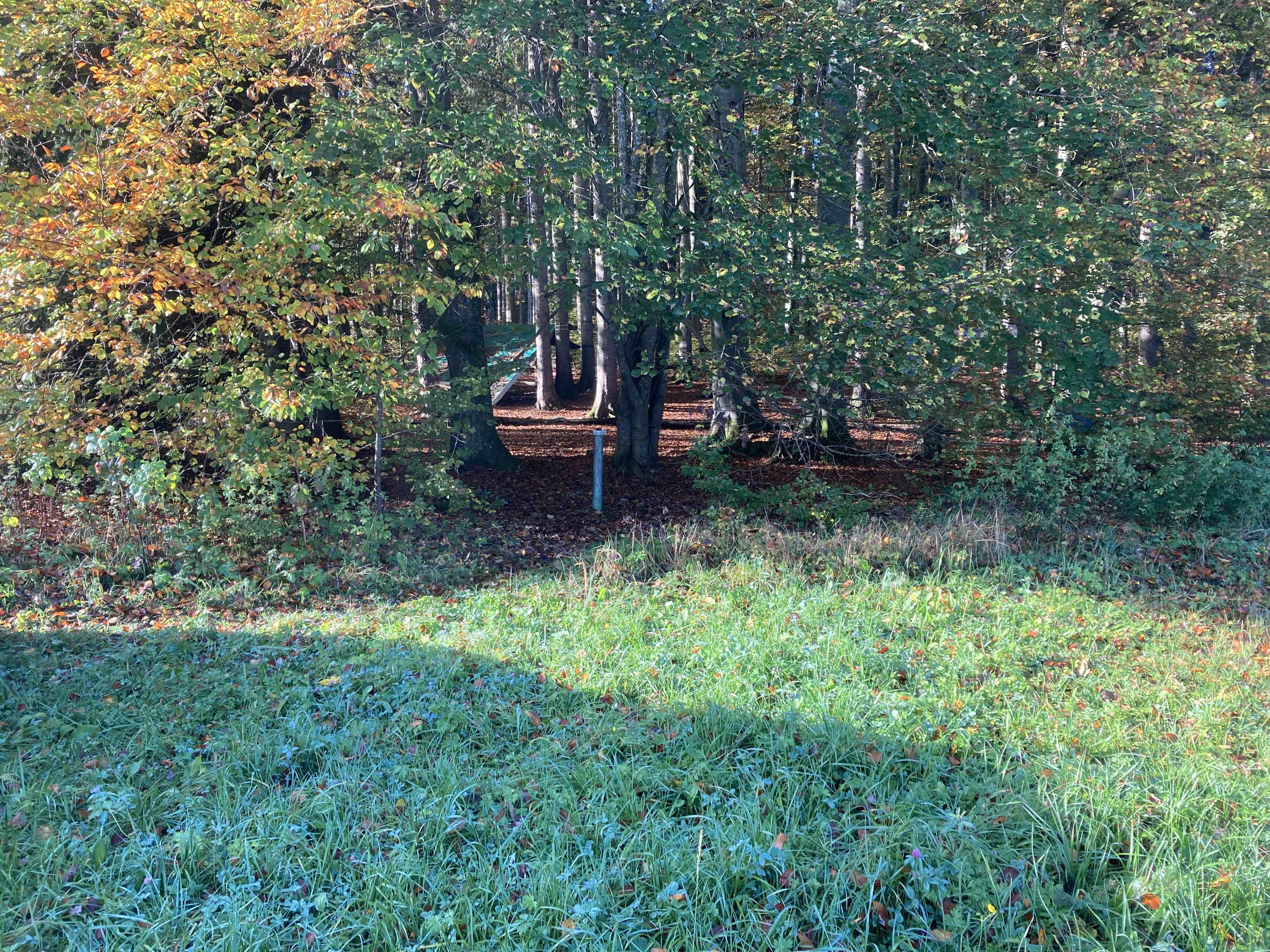
Picture of the measurement site
Location of the station SUEDL. HART 871
| Measurement site | Category |
|---|---|
 Seebruck Seebruck | Rivers: Runoff, Waterlevel, Water temperature, Water temperature |
| Altenmarkt a. d. A. | Rivers: Runoff, Waterlevel, Water temperature, Water temperature |
| Trostberg | Rivers: Runoff, Waterlevel |
| Burgkirchen | Rivers: Runoff, Waterlevel, Water temperature, Water temperature |