
- Start >
- Groundwater >
- Waterlevel of upper layer >
- Bayern >
- HORNSTORF L 101 >
- Master data

Master data HORNSTORF L 101
Site number: 81654
Measuring point system: Staatliches Sondernetz
Community: Straubing
District:
Operator:  Wasserwirtschaftsamt Deggendorf
Aquifer:
Measurement site depth under ground: --
Ground level: 316.06 m above sealevel
Easting: 761703 (ETRS89 / UTM Zone 32N)
Northing: 5422918
Observation period: 05.11.1979 to 18.12.2023
Maximum waterlevel (HHW): 316.17 m above sealevel
Mean waterlevel (MW): 314.65 m above sealevel
Minimum waterlevel (NNW): 313.75 m above sealevel
Mean Highest Groundwater Level (MHGW): 315.66 m above sealevel (Period: 01.11.1978 - 01.11.2024)
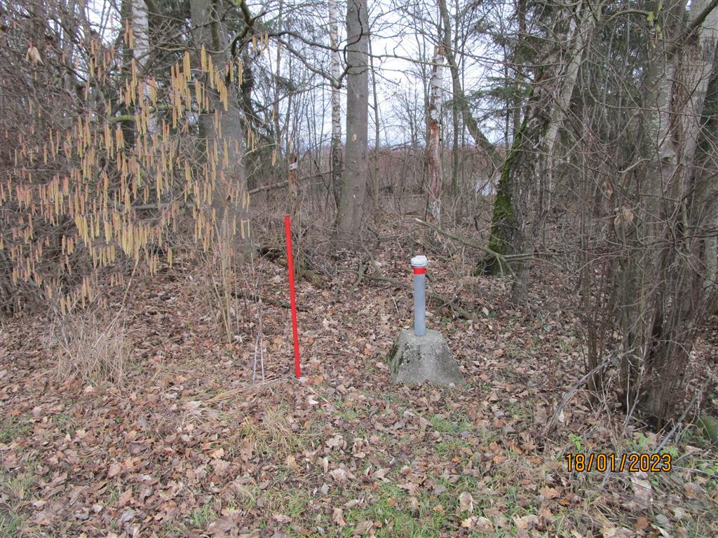
Picture of the measurement site
Location of the station HORNSTORF L 101
| Measurement site | Category |
|---|---|
 Pfelling Pfelling | Rivers: Runoff, Waterlevel |
| Salching | Rivers: Runoff, Waterlevel |
| Haberkofen | Rivers: Runoff, Waterlevel |
| Landau | Rivers: Runoff, Waterlevel, Water temperature, Water temperature |