
- Start >
- Groundwater >
- Waterlevel of upper layer >
- Bayern >
- PITTRICH L 86N >
- Master data

Master data PITTRICH L 86N
Site number: 81819
Measuring point system: Staatliches Sondernetz
Community: Kirchroth
District: Straubing-Bogen
Operator:  Wasserwirtschaftsamt Deggendorf
Aquifer:
Measurement site depth under ground: --
Ground level: 318.27 m above sealevel
Easting: 758115 (ETRS89 / UTM Zone 32N)
Northing: 5424528
Observation period: 16.03.1981 to 15.02.2024
Maximum waterlevel (HHW): 318.33 m above sealevel
Mean waterlevel (MW): 316.94 m above sealevel
Minimum waterlevel (NNW): 315.08 m above sealevel
Mean Highest Groundwater Level (MHGW): 317.86 m above sealevel (Period: 01.11.1980 - 01.11.2024)
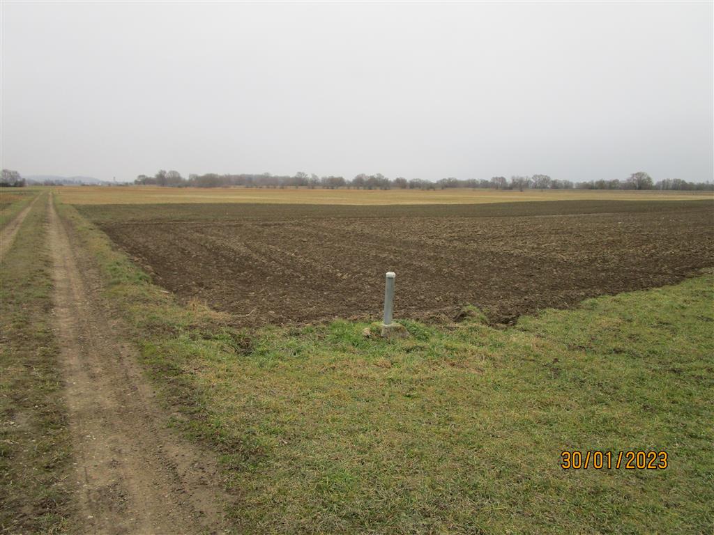
Picture of the measurement site
Location of the station PITTRICH L 86N
| Measurement site | Category |
|---|---|
 Pfelling Pfelling | Rivers: Runoff, Waterlevel |
| Grafentraubach | Rivers: Runoff, Waterlevel |
| Salching | Rivers: Runoff, Waterlevel |
| Haberkofen | Rivers: Runoff, Waterlevel |